Scramble – high plateau – big summit. Repeat. (in spades).
First on Saturday came Little Brother.
From the Cairngorm ski centre car park we scrambled (once again !) up the Fiacaill Ridge.
After paying our respects to Cairn Lochan, it was an amble across the edge of Coire an t'Sneachda in some sun and wind.
Paul and I - being “old hands' on this ground – felt almost bemused to be here in sunny “summer” weather. Hard to get used to.
Lunch at Jacobs Ladder (with it's 20 years of memories) was followed by a stroll to Cairn Gorm and the luxury of taking our time to gaze east down the long trough of the River Avon.

Then on Sunday came Big Brother......
about twice the size, in fact, of Saturday's wee jaunt.
Same formula, but the “initial” scramble in this case lies four hours deep into the mountains.
The Angel's Peak (or Sgor an Lochain Uaine) – now at 1258 metres the fifth highest Munro - stands at the heart of the Cairngorms wilderness, a long and lonely way from anywhere.
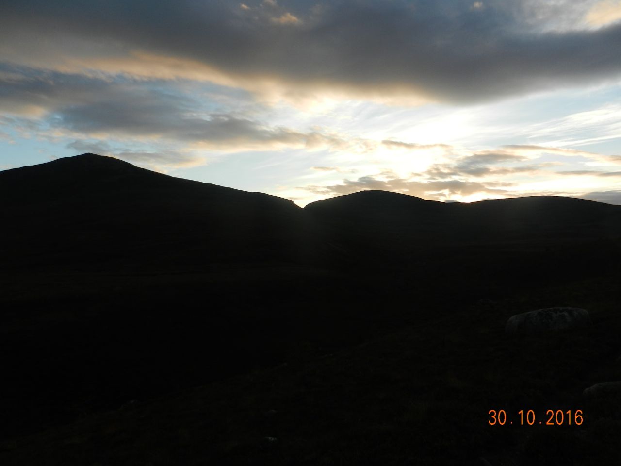
We set out (in full waterproofs) from the Sugar Bowl car park at 06.20 ….. summoning our faith in MWIS because at the time, it was dark, raining, and with great curls of mist filling the corries.
One hour brought sunrise (“Dawn was ever the hope of man” , said Aragorn) and a clamber through the Chalamain Gap;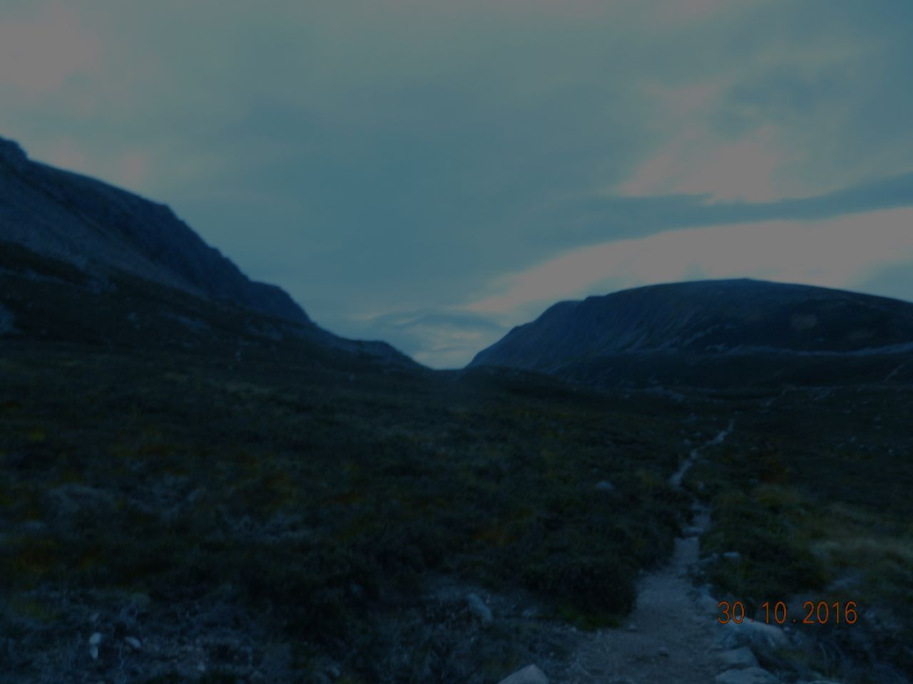
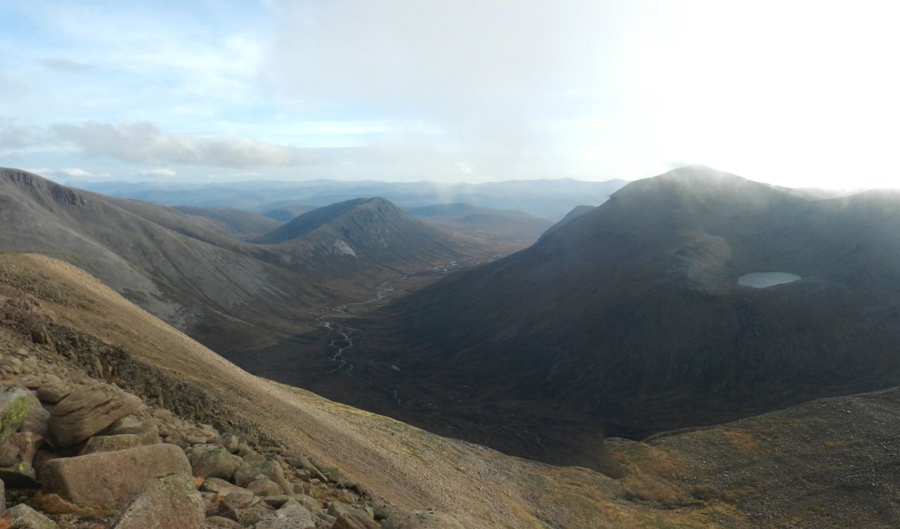
and two hours saw us at the watershed of that monstrous inescapable trench, the Lairig Ghru.
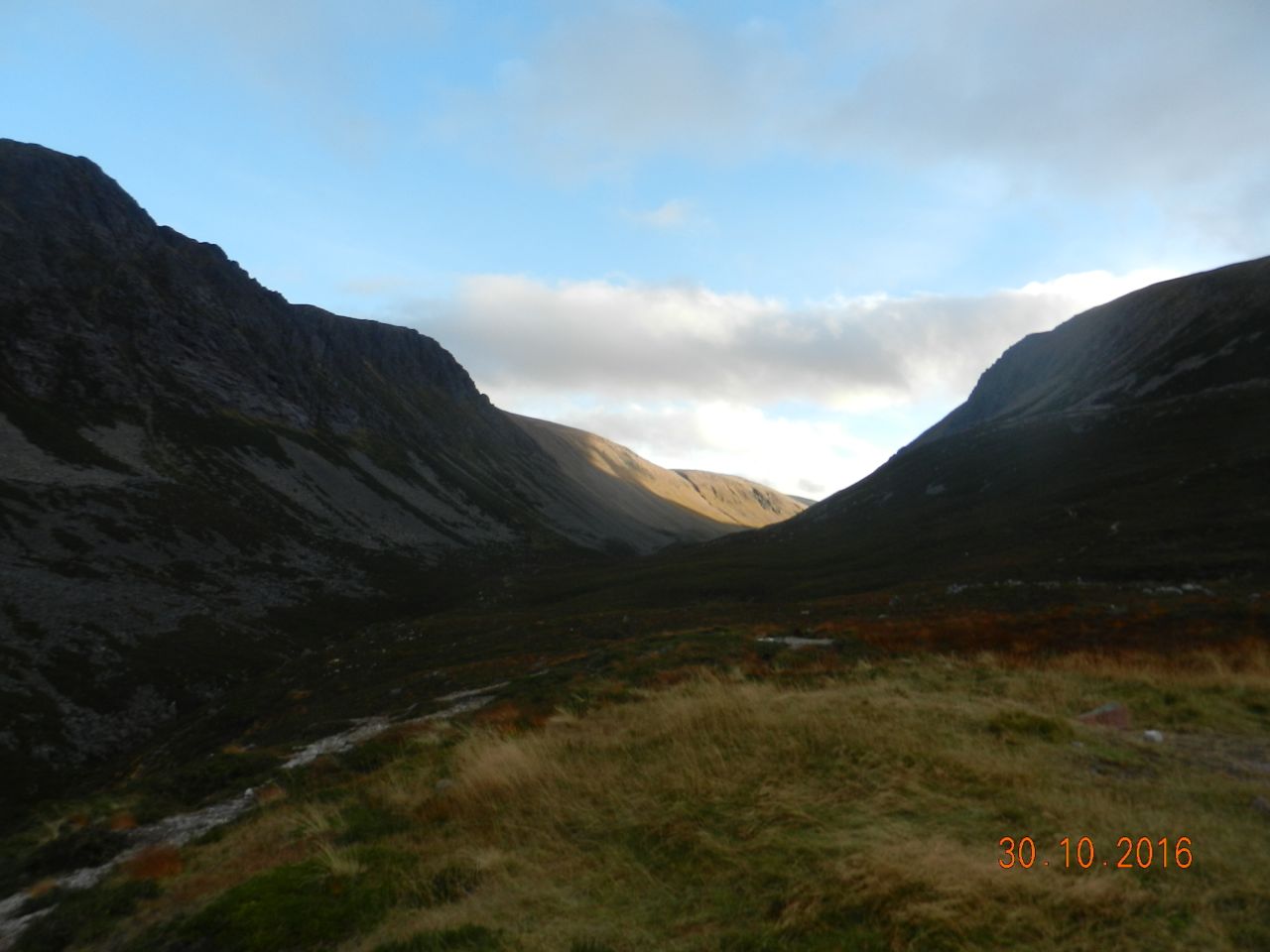
In three hours we were in sight of the tiny refuge in the Garbh Coire.
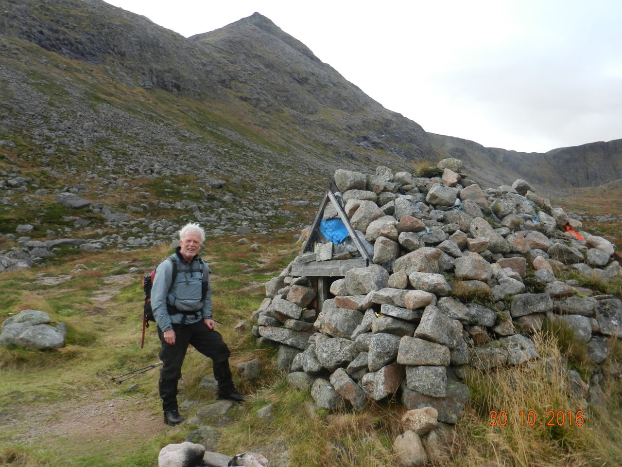
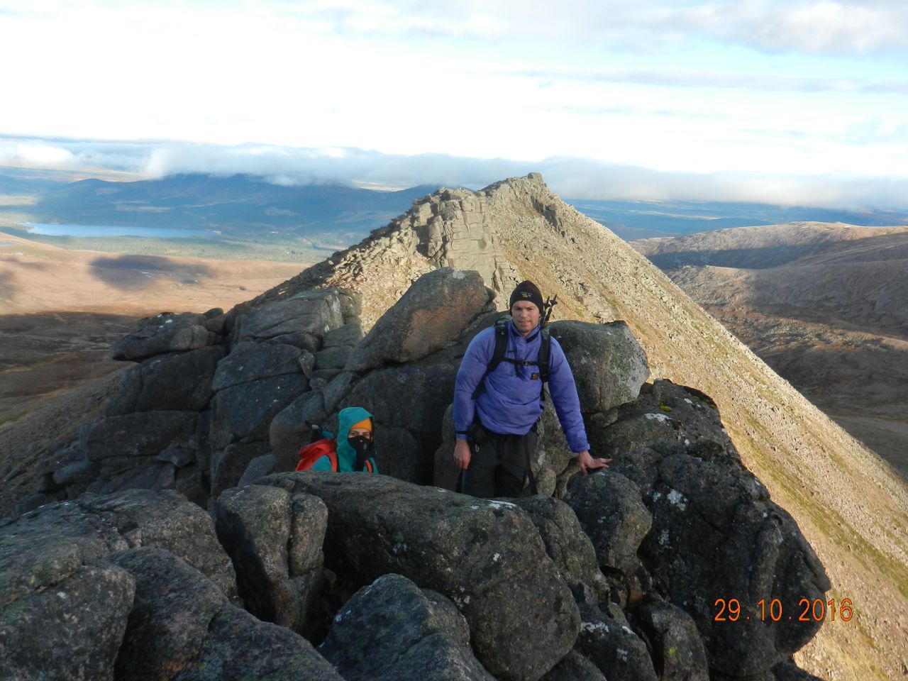
The awesome scenery of the Garbh Coire, its huge and unrelenting walls of rock, loomed all around us. On the south side, The Angel's Peak reared into the cloud, its NE ridge like an arm outstretched to us. Except for some 200 metres height of extremely steep ground with dripping black rock overlaps. Happily, just opposite the refuge a faint track threads a way up to the lip of Lochain Uaine.
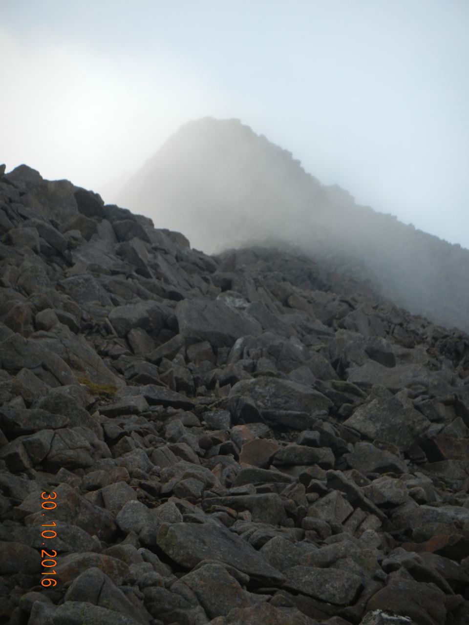
Above the Green Pool comes the ridge proper..... about 300 metres of pleasant scrambling, mostly straightforward, with the odd crinkly bit.
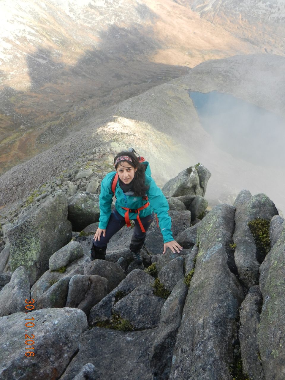
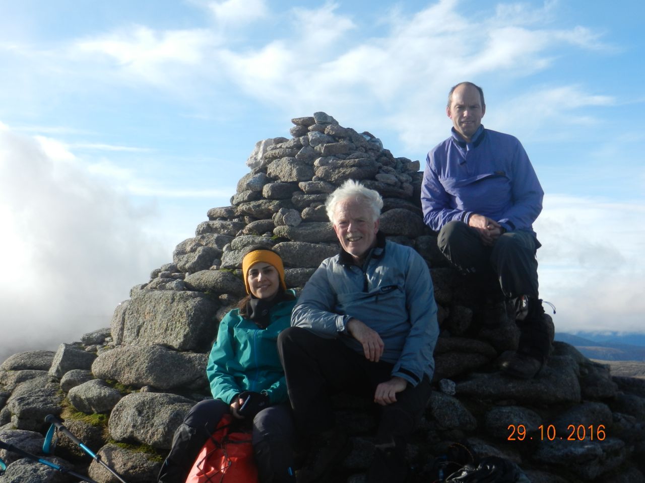
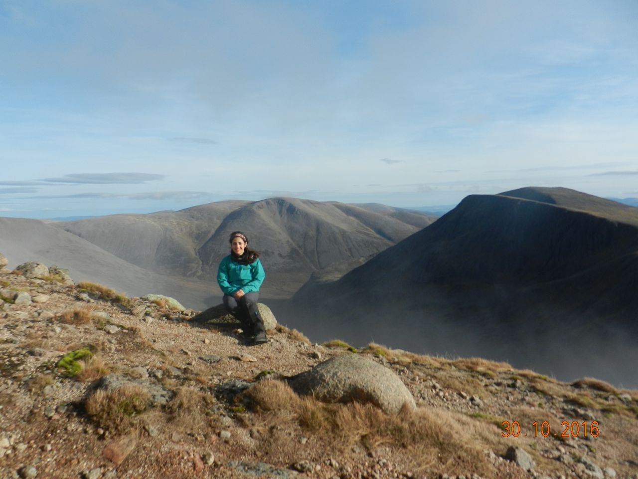
And so, some 5 hours after setting forth, we stood at last with the Angel.
There was nothing to be heard. No sound or sight of animal or man could be made out in all the immense view. Far below, the infant River Dee headed south like molten silver. As we gazed around the stupendous cliffs, they seemed impassive, doubly remote, scarcely affected by the whole history of mankind, and waiting the events of another million years.
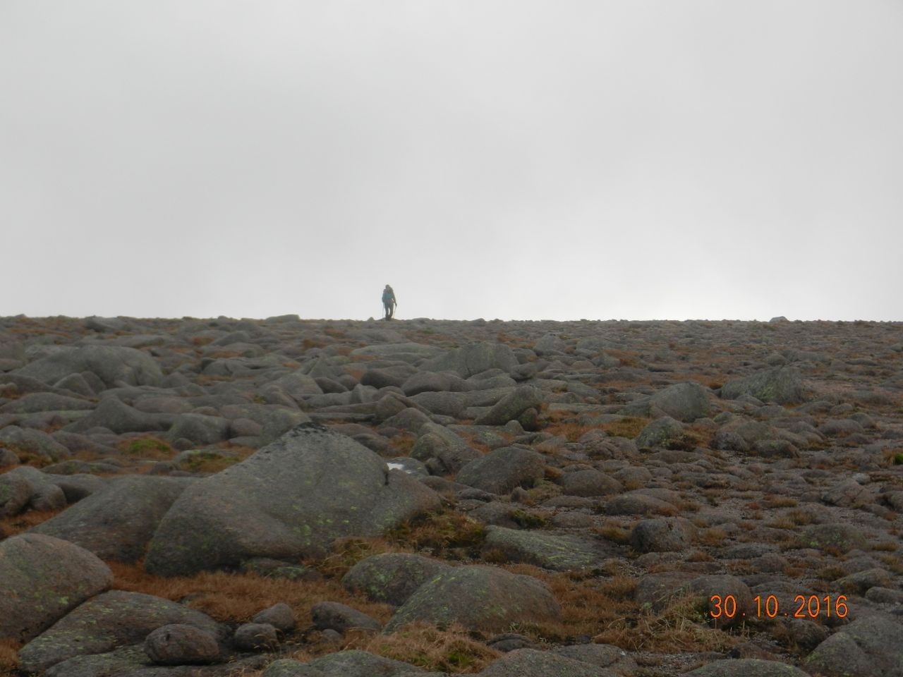
A second large helping of Gormfest now followed, because the only practicable route of return was around the plateau to Braeriach ---- about 5.5 km, and all at over 1200 metres altitude. Clearly, this is a dangerous place in foul weather.
Mist came and went, then closed in again as we entered the almost-level bowl where the only features are the Wells of Dee. Here was a brief demo for Marjan of what it's like on featureless terrain surrounded by featureless fog. After a short seminar on maps, compass bearings, pacing, aiming-off and so forth we reached mighty Braeriach's 1296-metre summit as the mist dispersed.
It's a long, long way down to the base of the Lairig (almost half a mile vertically below). Speyside glittered in the afternoon sun.
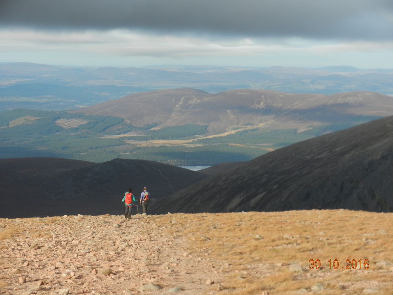
And finally, as the sun sank behind the Chalamain Gap, we tramped back into the car park after our ten hour day. (Oh, and 29 Km and 1500 metres). A big Sunday constitutional.
ANDREW.