


Suilven and Friends.......a north-west passage
Frankly, its a bit preposterous.
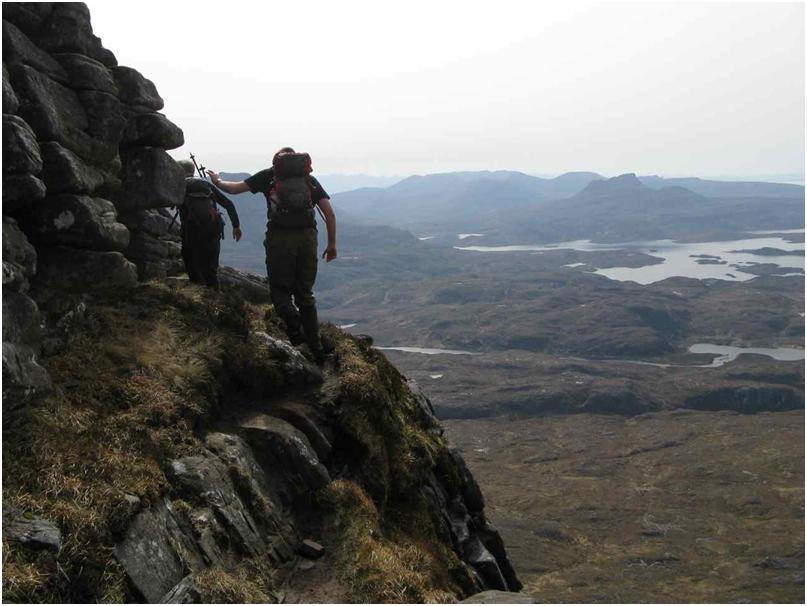
Take a narrow footpath over a mile long. A bit scrambly in places.
Then put it half a mile up in the sky, and add precipitous drops off either side and sheer rock down from either end.
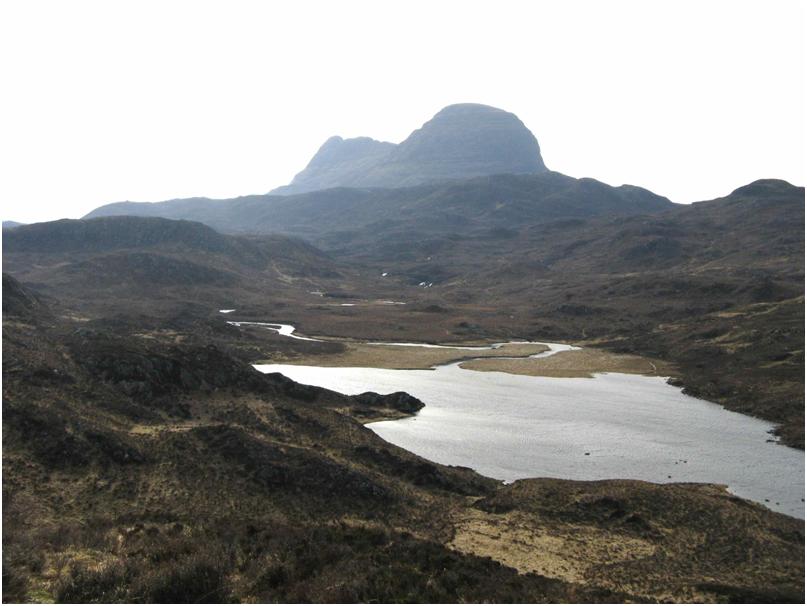
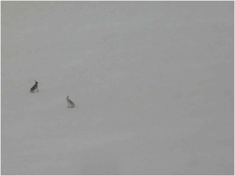
Suilven sticks up from a surrounding low countryside patchwork of streams, bogs, moors and sparkling lochains, all on its own, as improbable as the In Pin on Sgurr Dhearg.
We marched in from Lochinver on a bright tho' slightly windy April morning, and after 2 hours began the steep-ish path up a grassy gulley halfway along the ridge, which is the only point of access (from either side).
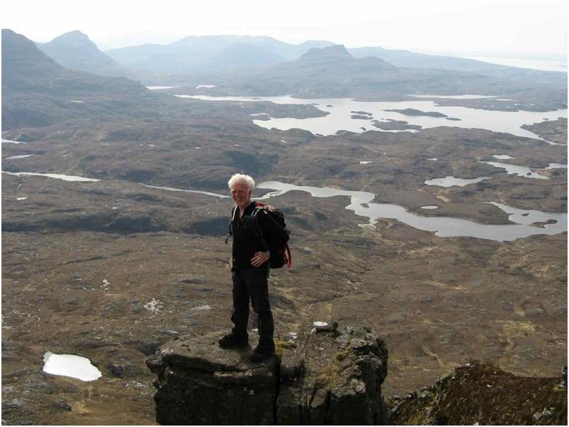
Three hours saw us at the notch in the ridge, and another 20 minutes to the summit at the west end.
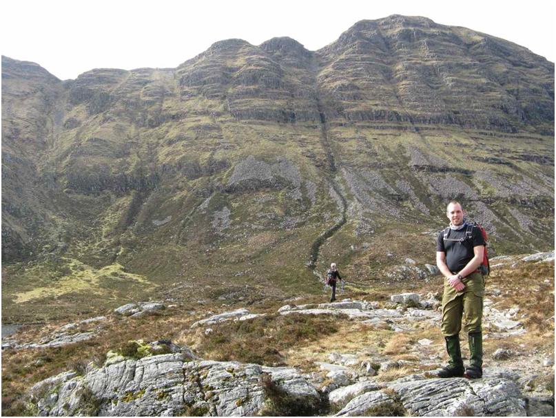
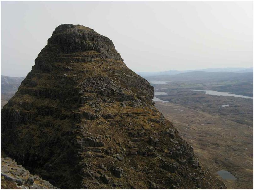
Backtracking to the access point, we took the first mild scramble along the ridge to the east.
However the final eastern pinnacle involved a drop and reascent, and seemed to have a large pitch high up. The Old Enemy was ticking by, so it was back along along along the long path to Lochinver to complete a 7.5 hour day.
And then to a wild camp, firelight and red wine, by the shores of Loch Assynt, under the ruined walls of Ardvreck Castle with its ghostly tales and history of the final capture of Montrose by the Covenanters in 1650.
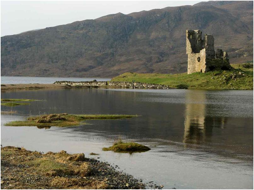
In the clear moonlight this was both convenient, romantic and spectacular. Unfortunately it also turned out to be on the Tick List so no return is planned.!!!
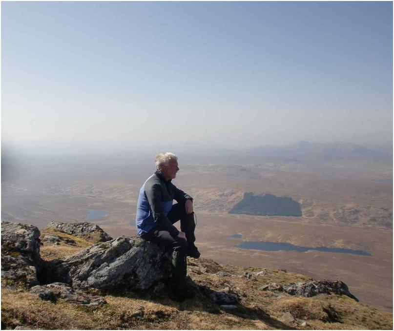
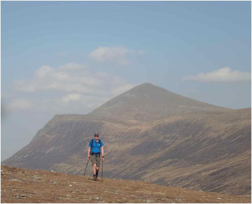
Paul had a yen for Ben Klibreck. So on Sunday we left Quinaig for another time and romped up the moorland behind the Crask Inn to the second most northerly Munro. I was glad to see this in clear weather. The summit made an imposing pyramid and we did not agree with the dull opinion of this mountain eg by Butterworth.
A forecast of poor weather for Monday didn't sound good for the hills. However being already so far north, we decided to go "right to the top" to a B&B in Tongue, in fact.
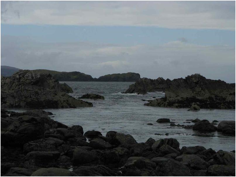
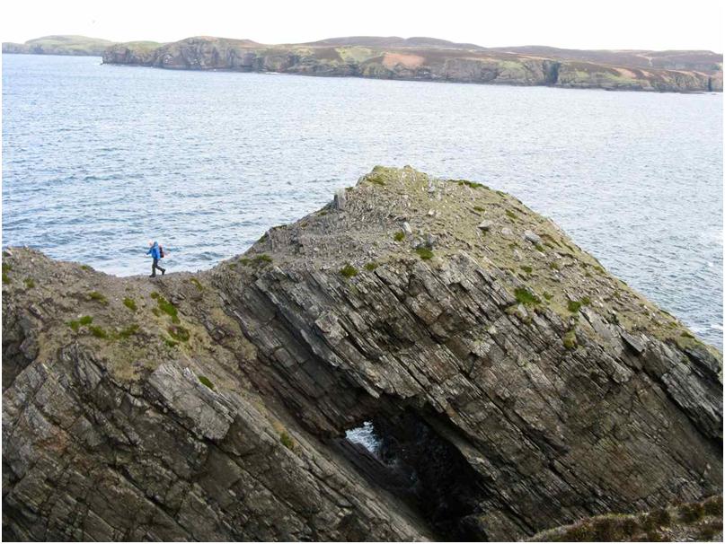
Monday was in fact quite memorable, as we explored the bleak beauty of the northern coastline.
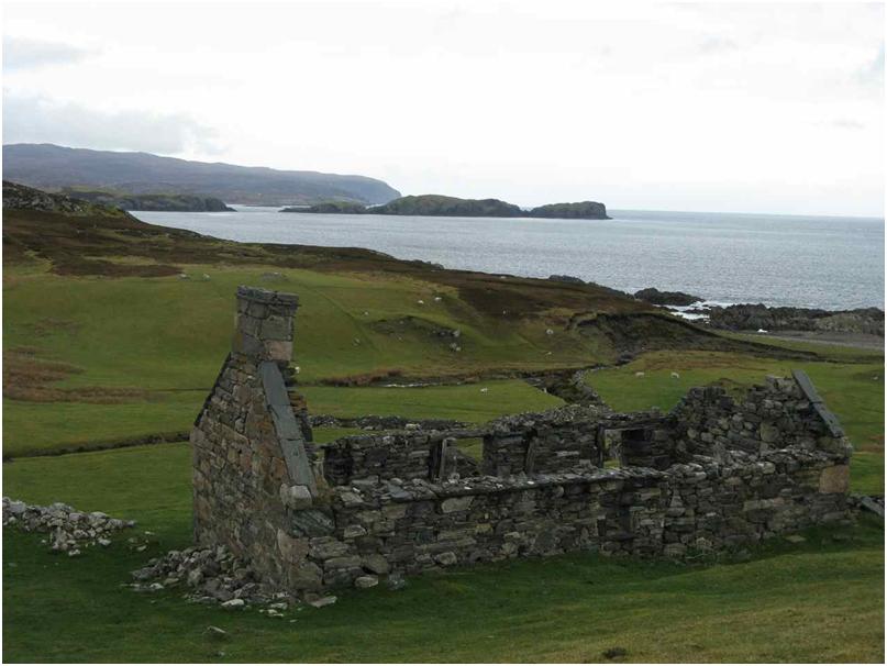
The village of Sleiteil (which had no road access) was abandoned in 1938. We found the house of the grandmother of the waitress at the Tongue pub.
Further along, were narrow rock formations and an arch. Then at Farr Bay the surf was up and we watched the rollers pounding in.
Eventually it was time to turn south, following the weather down 39 miles of single track road, and then south south south to Inverness and finally - feeling almost "home" - familiar Newtonmore and Craigellachie bunkhouse.
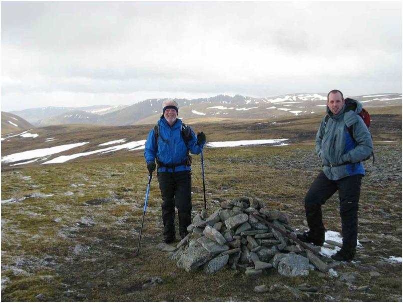
The Monadliath was easily reached by walking straight out of town, and onto the Munros of Carn Sgulain and A'Chaillaich. On a variable day, we had a drubbing of hail and wind for half an hour, but happily this cleared at the first summit. Once again the distant and beautiful landscape unfolded its colours.
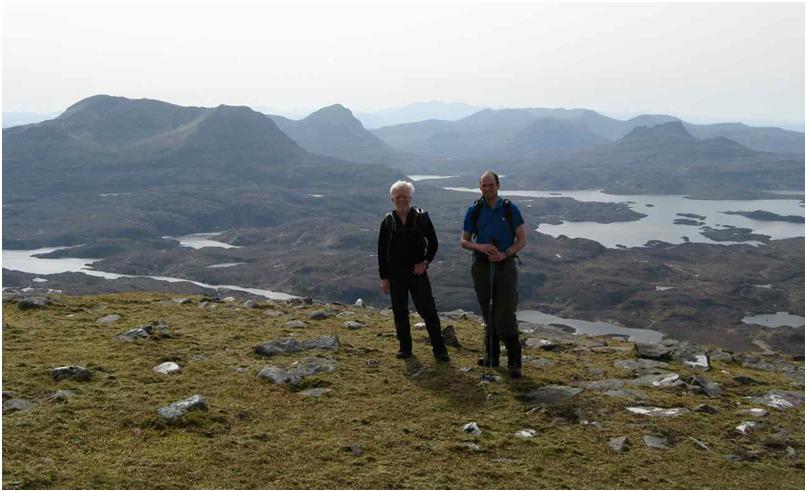
Glad I’m not the only person to think the eastern peak is pretty flippin’ imposing!