


The area of the Dents du Midi -and Dents Blanches adjacent- is sprinkled with at least a dozen mountain huts. Routes through the ranges vary from woodland and alpine pastures to rocky clambering with ropes and chains to hold on, and in one case a 100 foot ladder. My friend Steve W and I decided to head first to the refuge of Cabane Susanfe, a central point from which we could choose our options. Four days before departure there was heavy rain falling as snow "upstairs".
A couple of hours by train from Geneva airport got us to the village of Chambery at 1000 metres. From here a path led up through woodland to Refuge Bonavau (1550 m coffee stop).
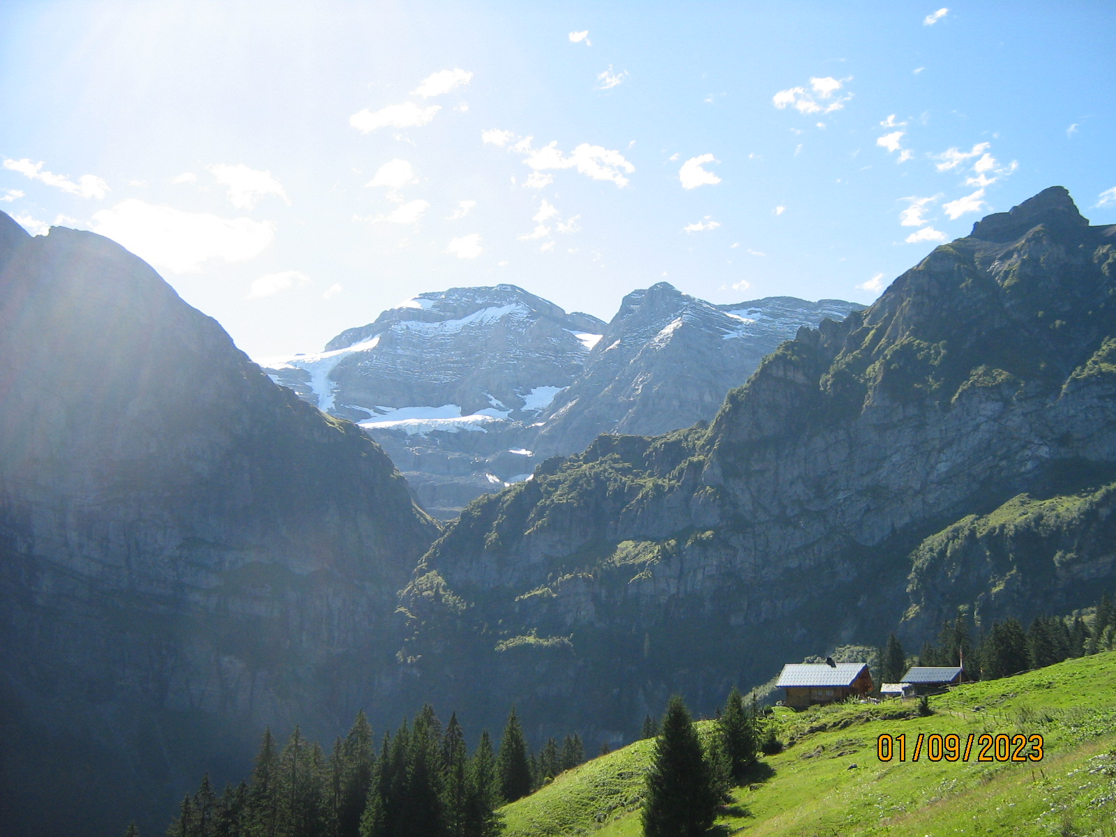
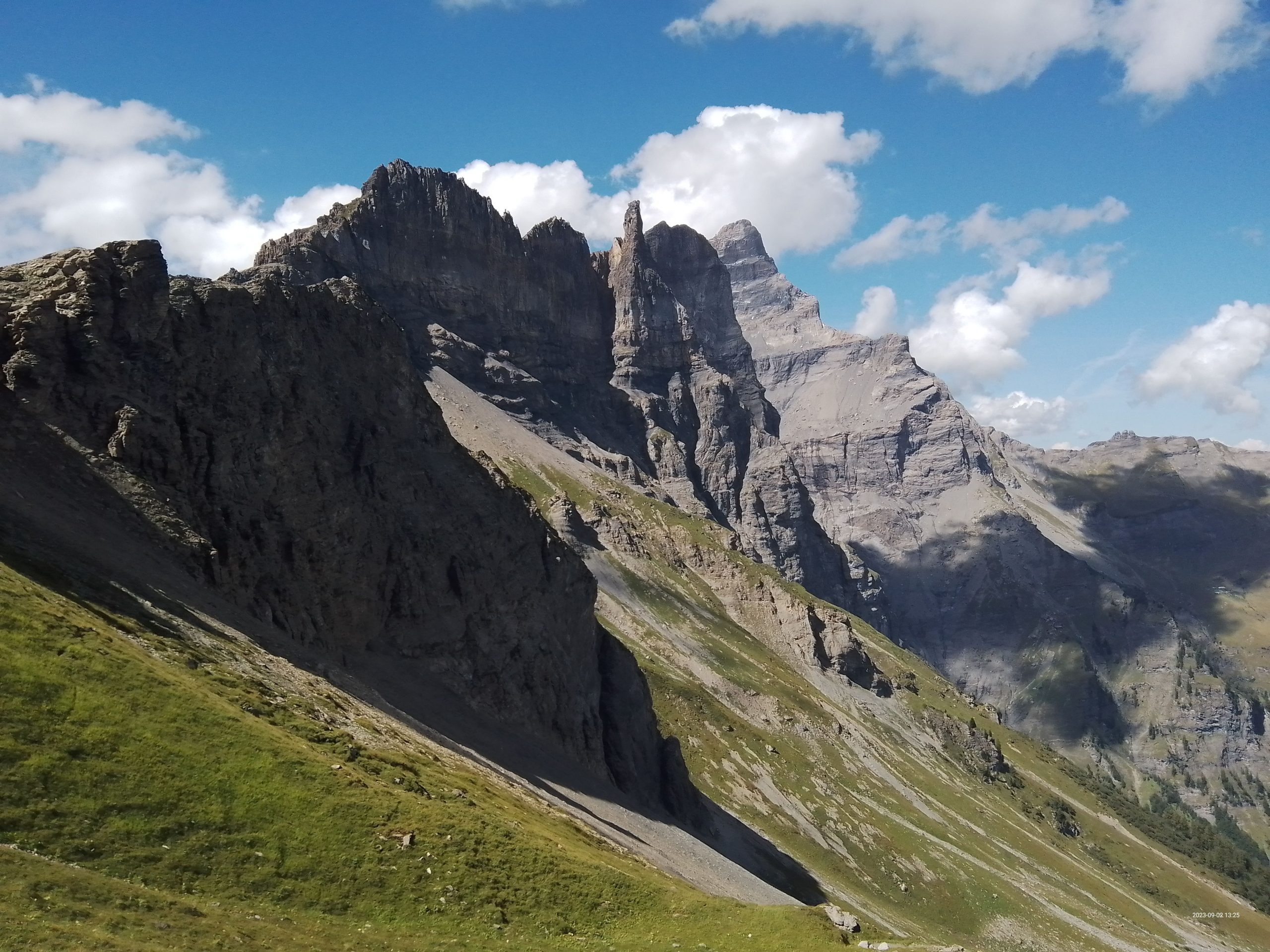
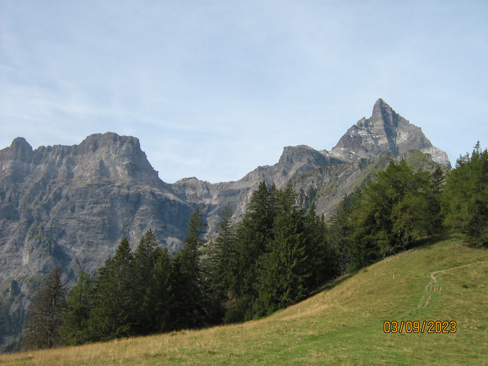
Across pastures is a big long cliff.
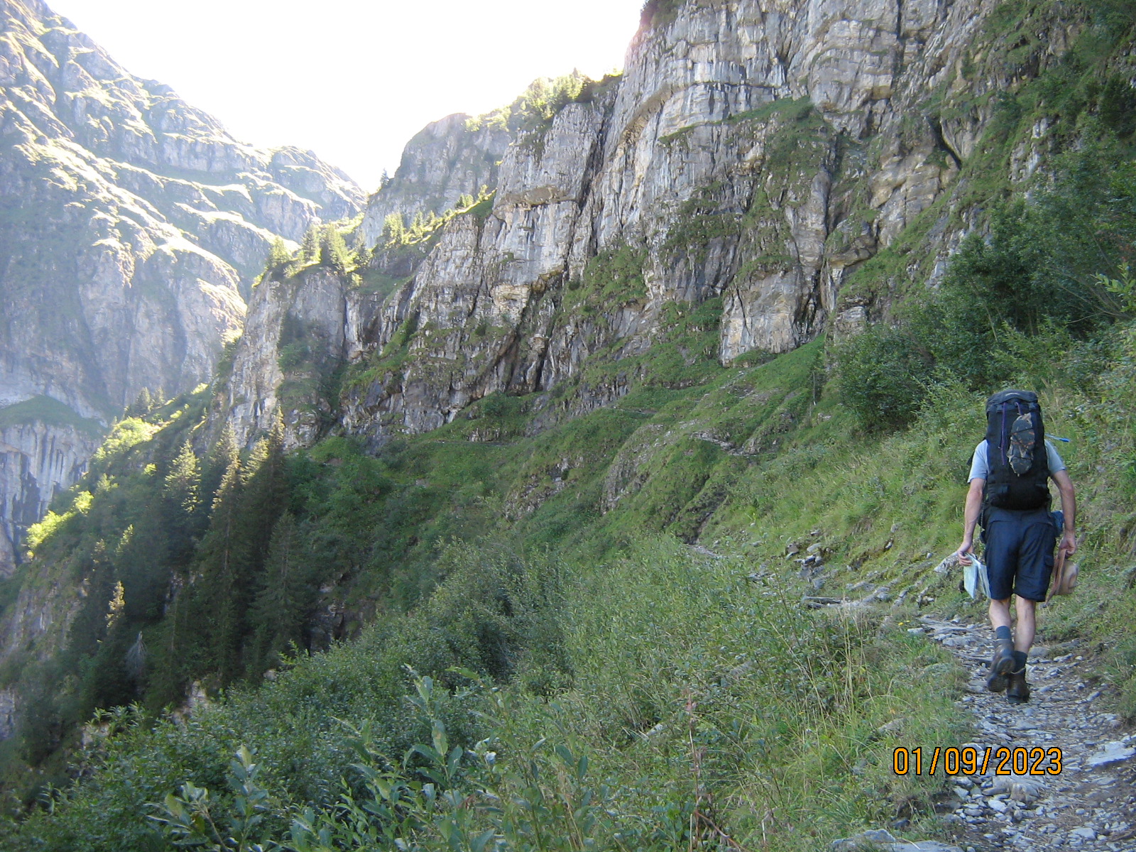
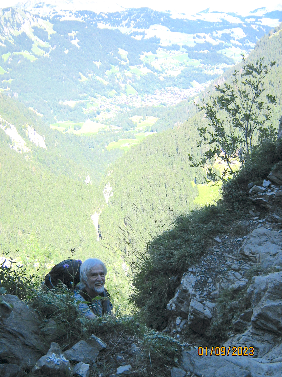
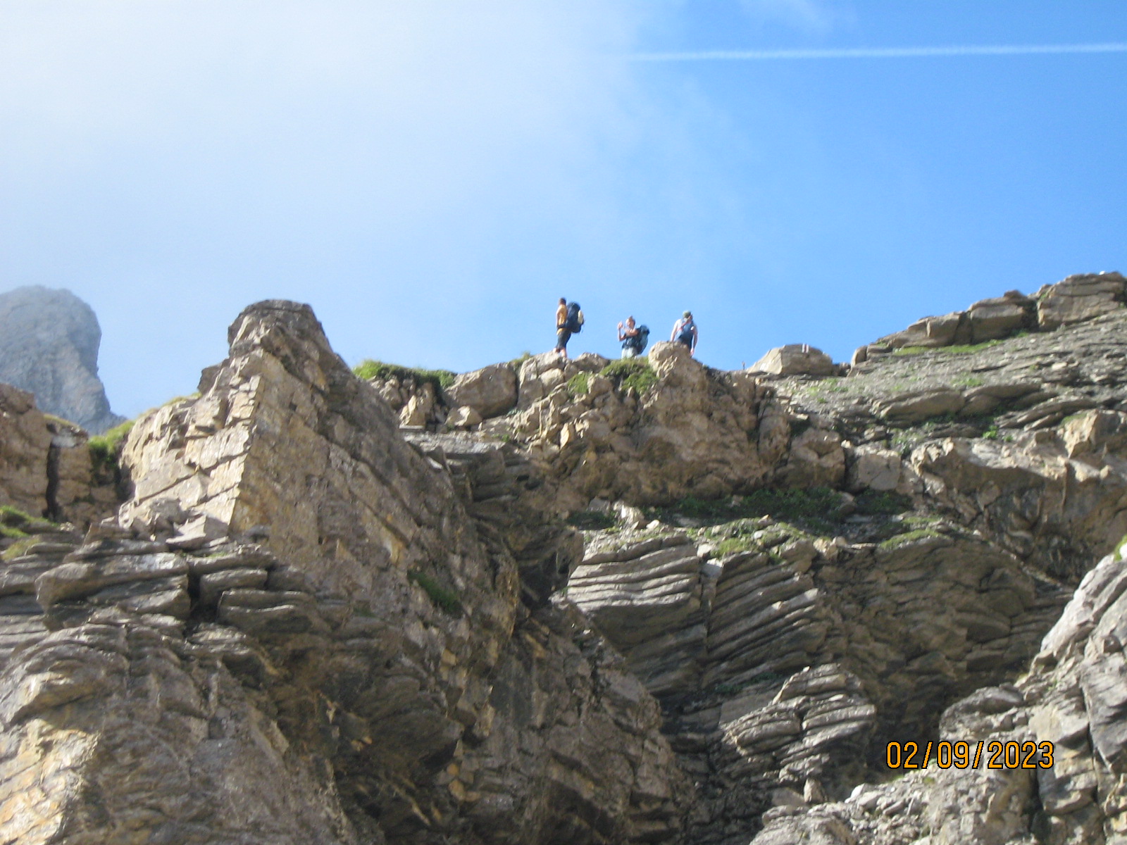
The path goes across the base of the cliff for some 500 metres and owing to extremely steep ground below, ropes and chains start to appear as handrails.
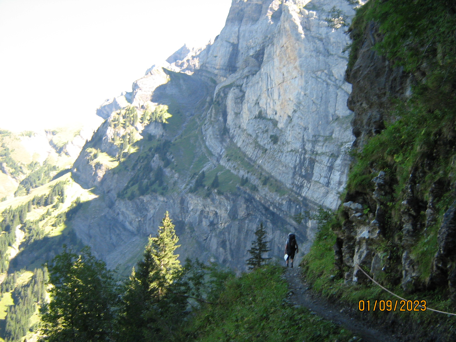
Next comes a big ravine, and the path climbs the side wall for about 150 metres upwards to gain a high level area enclosed by mountain peaks. There are various steeper bits. Not difficult, but concentrate. Think Jack's Rake with chains maybe.
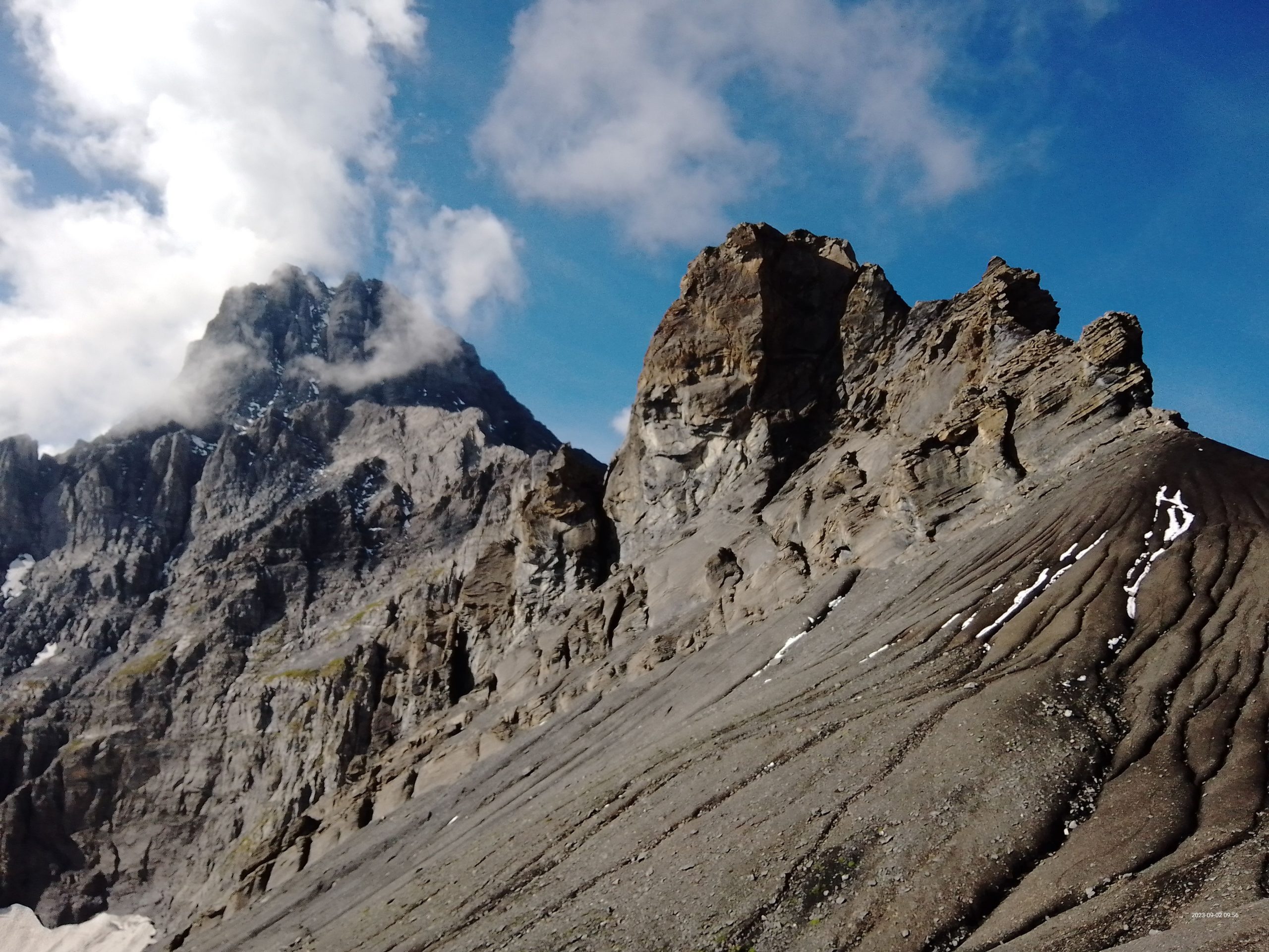
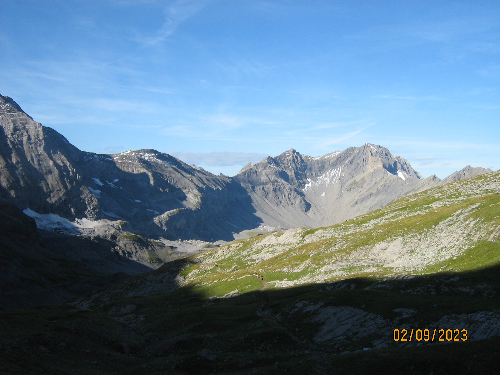
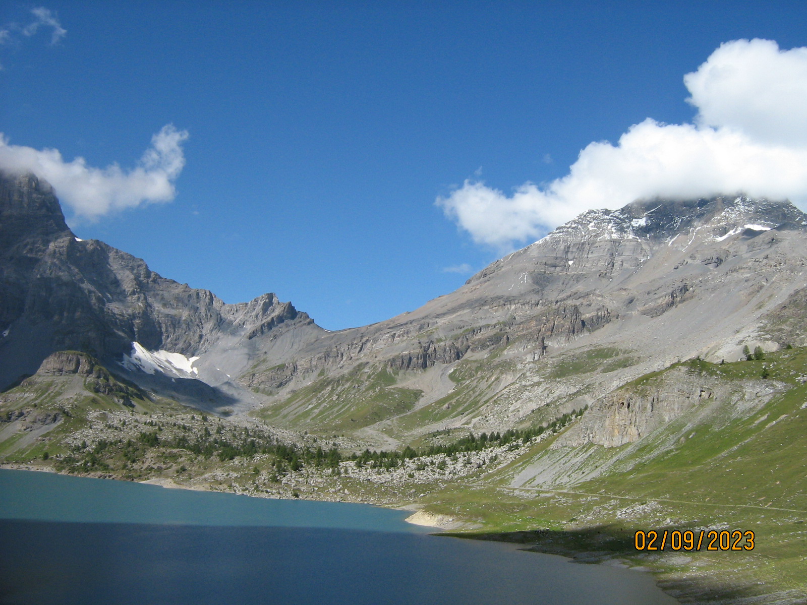
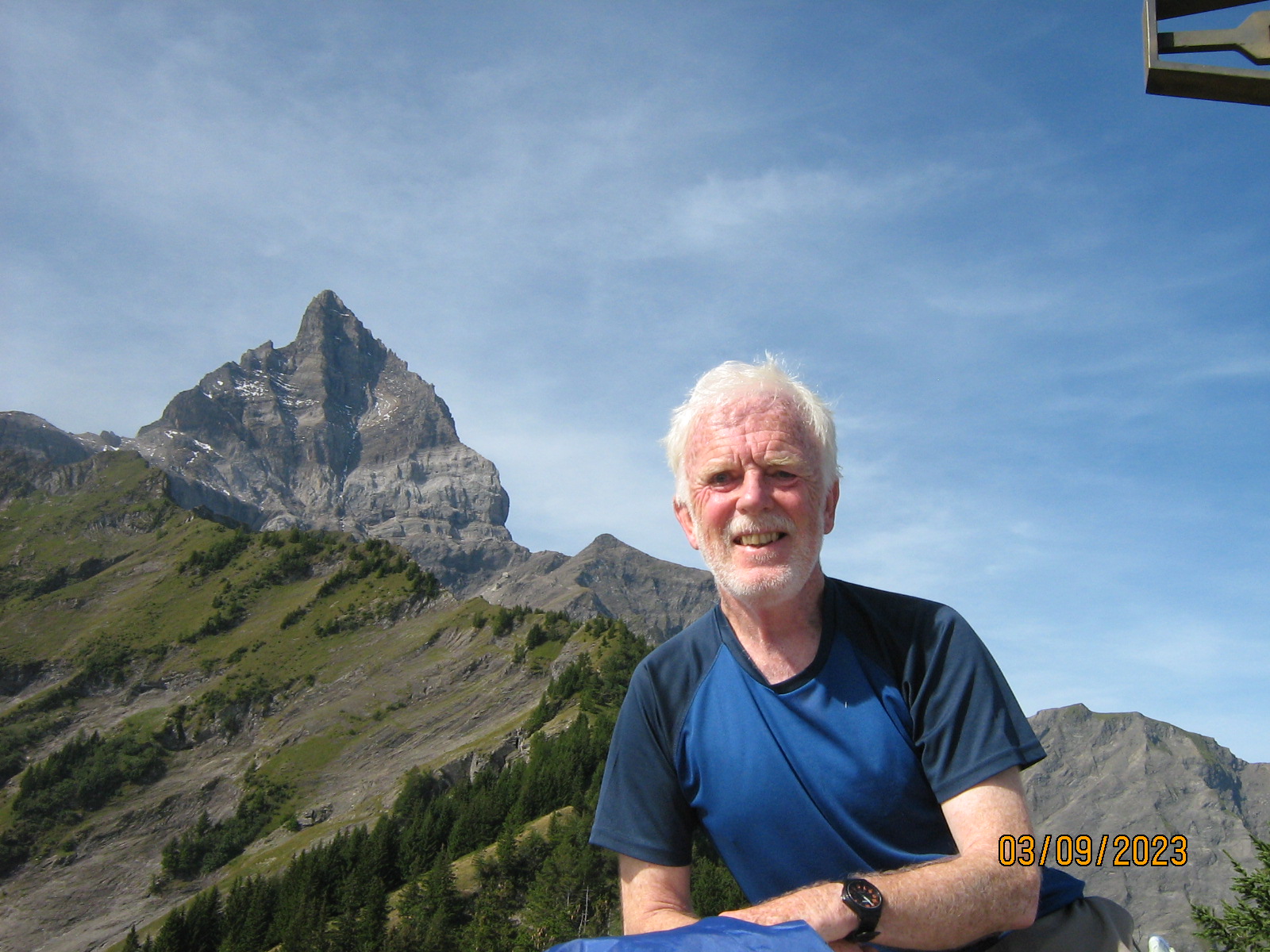
On the final stretch we gasped as we caught our first glimpse of the mountain Haut Cime, absolutely plastered with snow (30 cm fresh snow as we were later told).
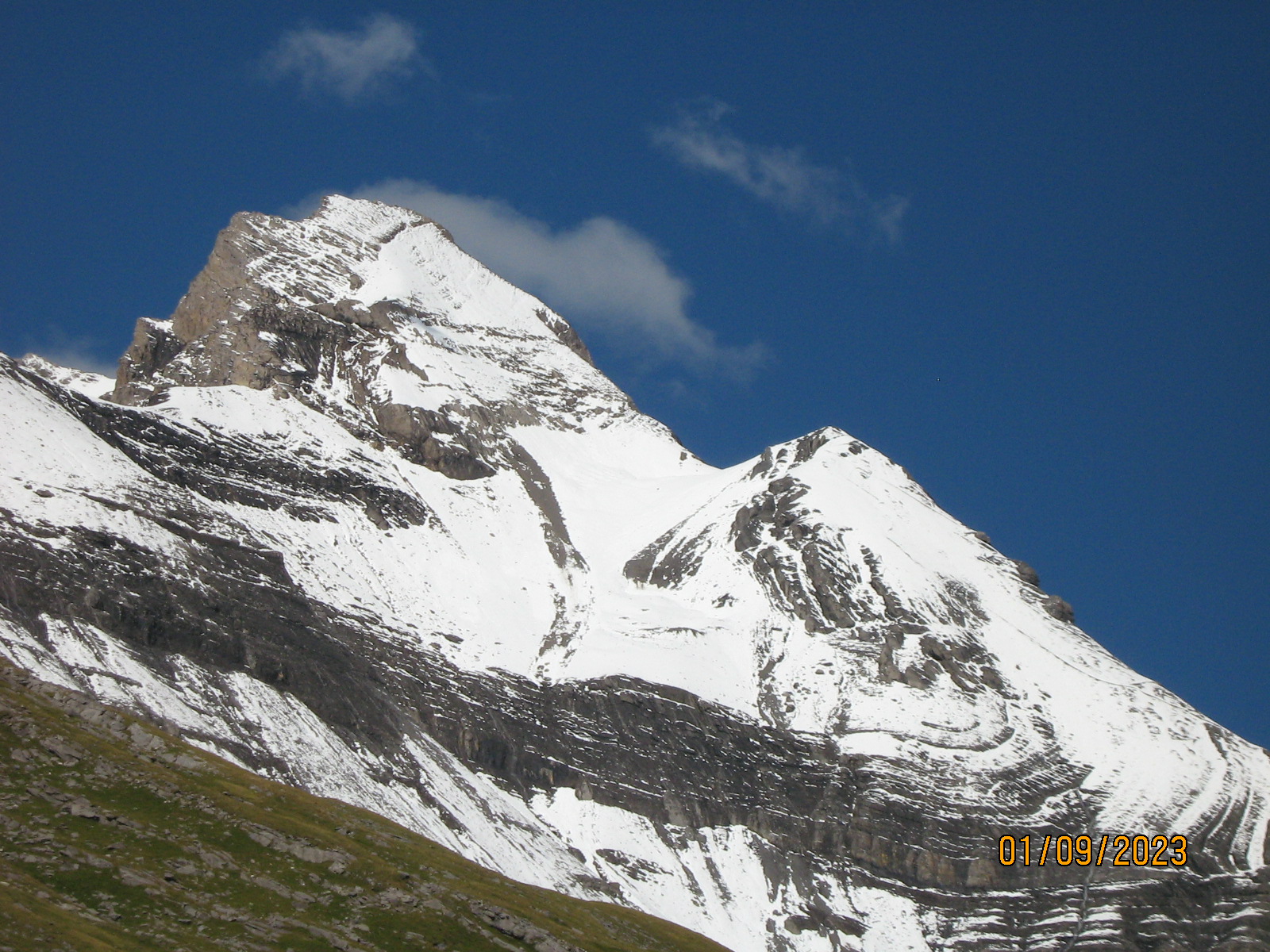
Our style on these trips is 7kg cabin baggage only, so we had no ironmongery or ropes. Indeed at the hut they said that even parties with crampons had turned back (the fresh snow lying on steep smooth rock slabs.........).
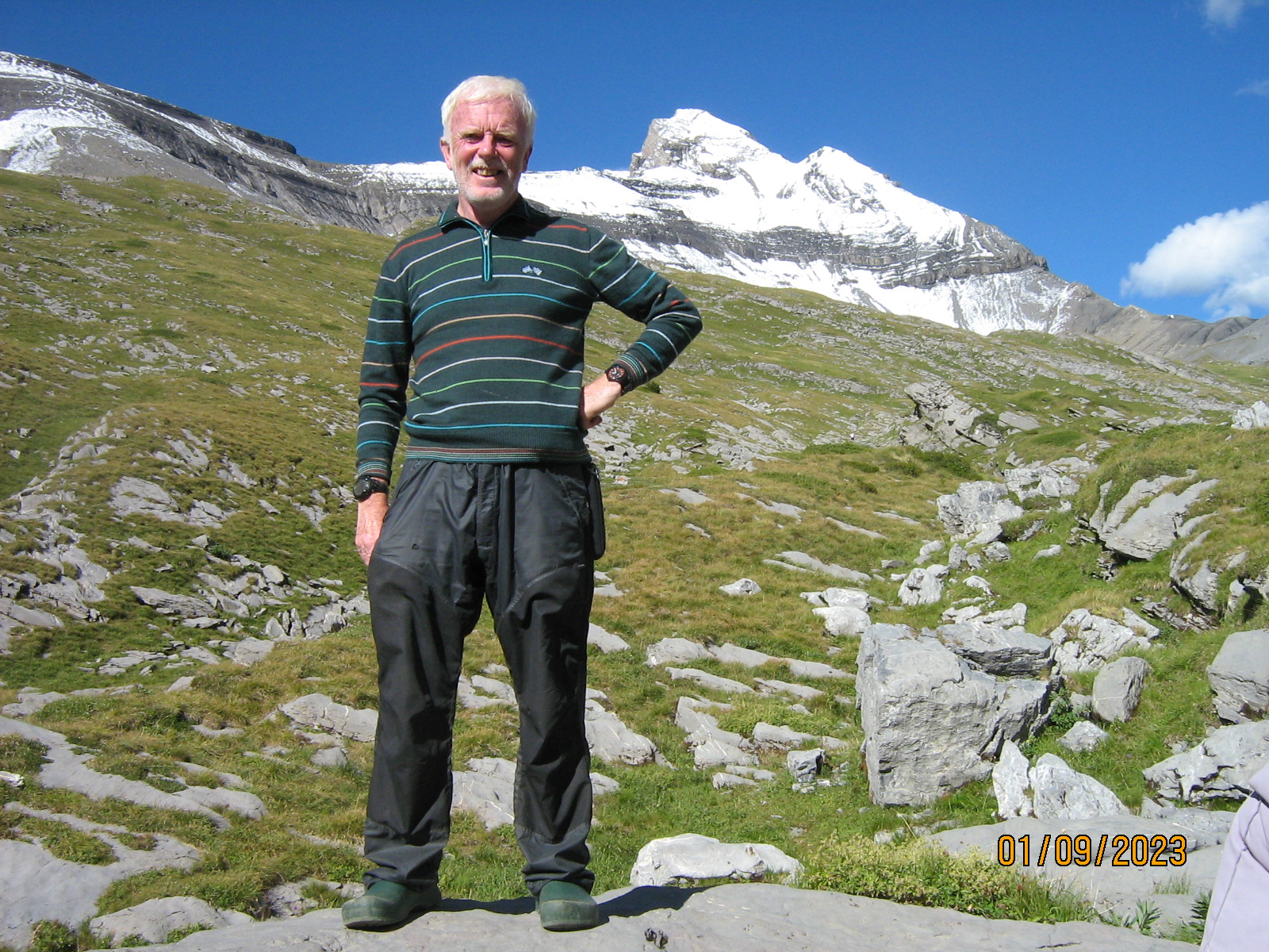
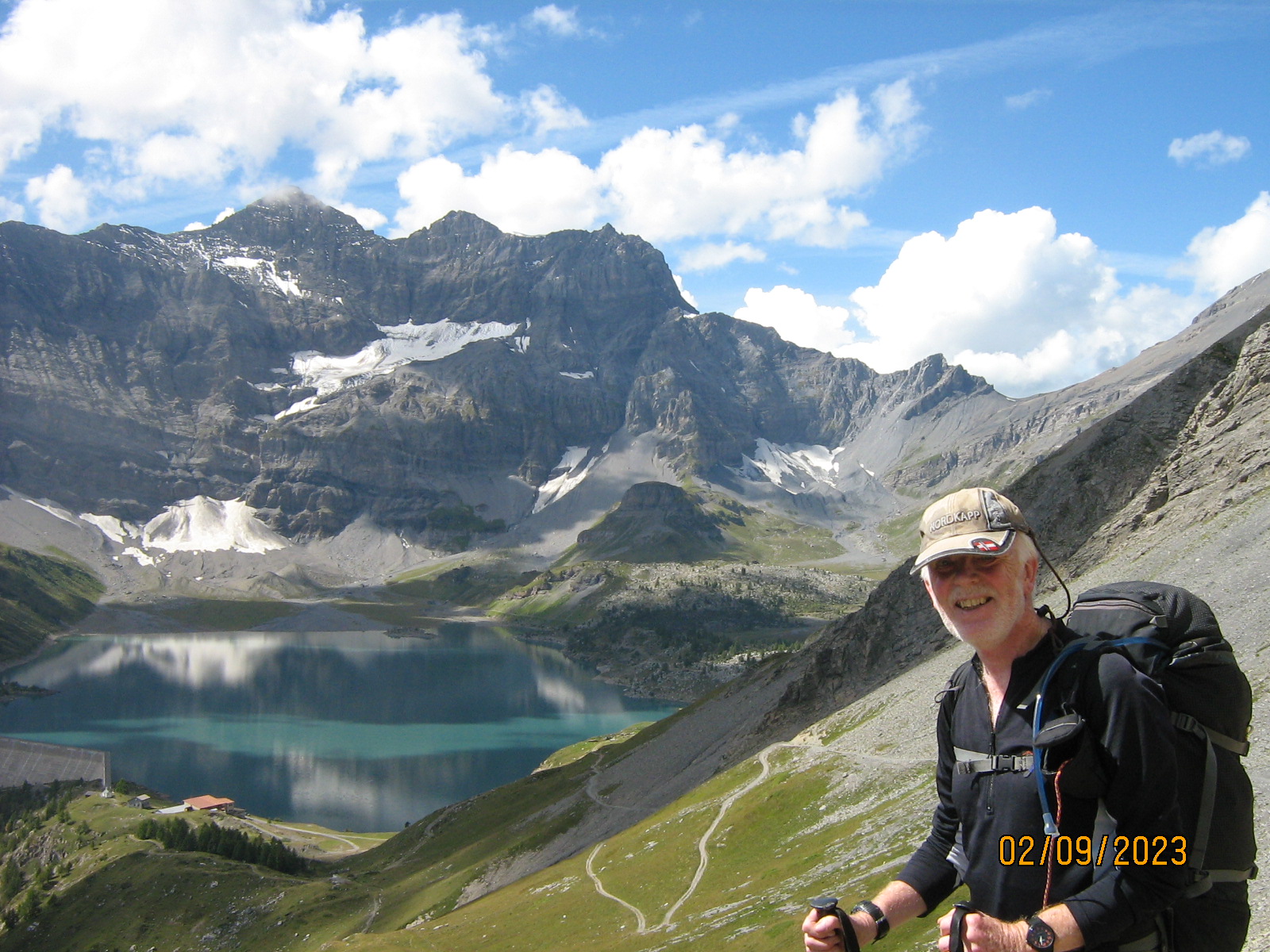
Haut Cime is possibly the only summit normally accessible. For similar reasons the route up the big ladder to La Vogealle seemed unwise (despite having prepared Dulfer slings and VF lanyards). So we opted for the standard Midi Tour, an anticlockwise circuit across the "back" of the range, returning westwards across the northern "front".
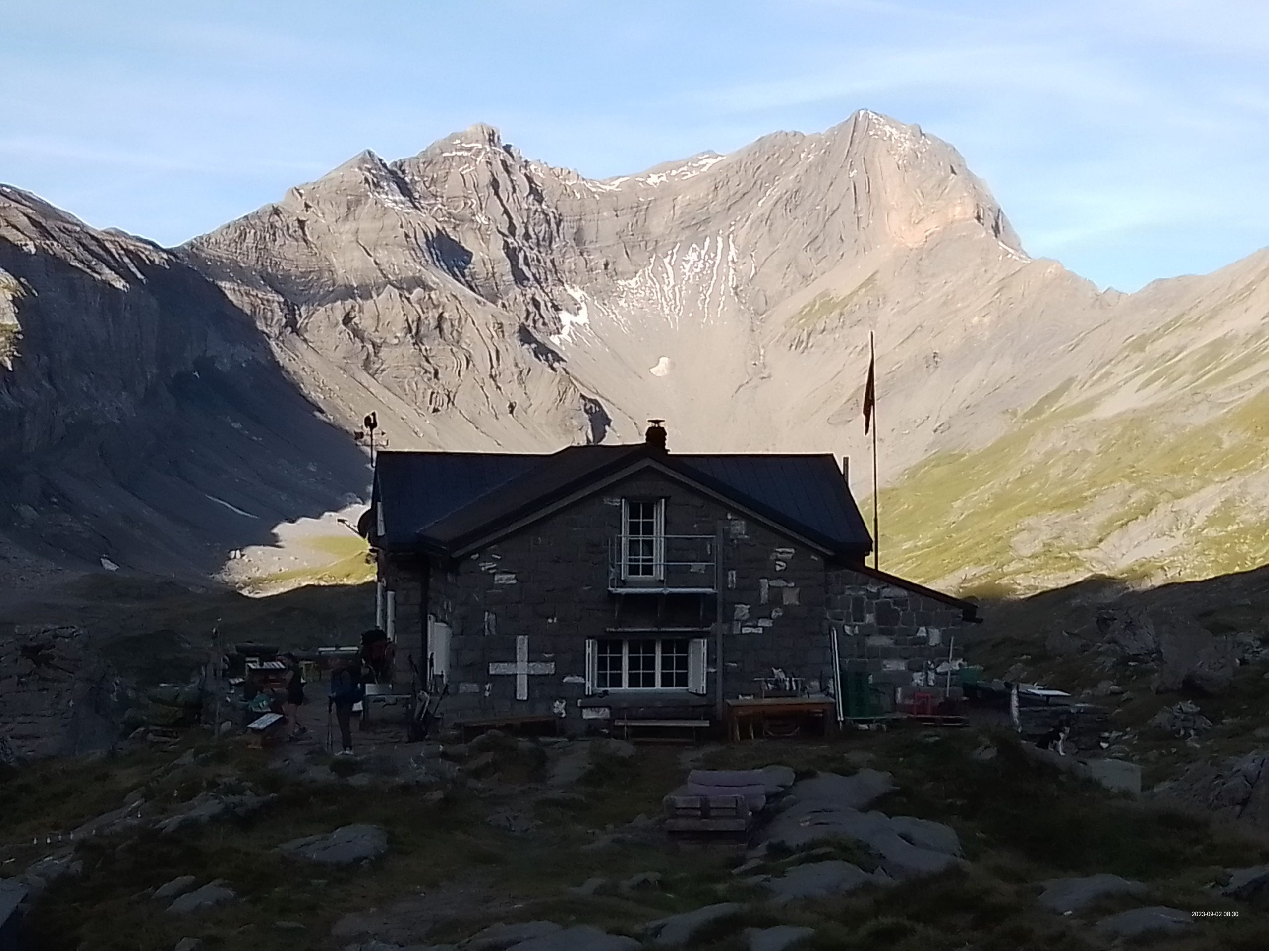
The meal at Susanfe would have struggled to pass muster at Scout camp. However it was then announced that there was to be a cello recital. Lights dimmed, free prosecco. Fascinating music. Unusual at 2100 metres !!!
Next day, Steve and I made a good start eastwards to reach the Col de Susanfe 2500 metres. Above us, a cloudy hat had gathered around Haut Cime.... Nothing to be seen all day up there.
On the eastern side of the Col the route downwards was considerably steeper, at times on smooth rock slabs above some massive drops. Again ropes and chains were on standby in various corners and chimneys.
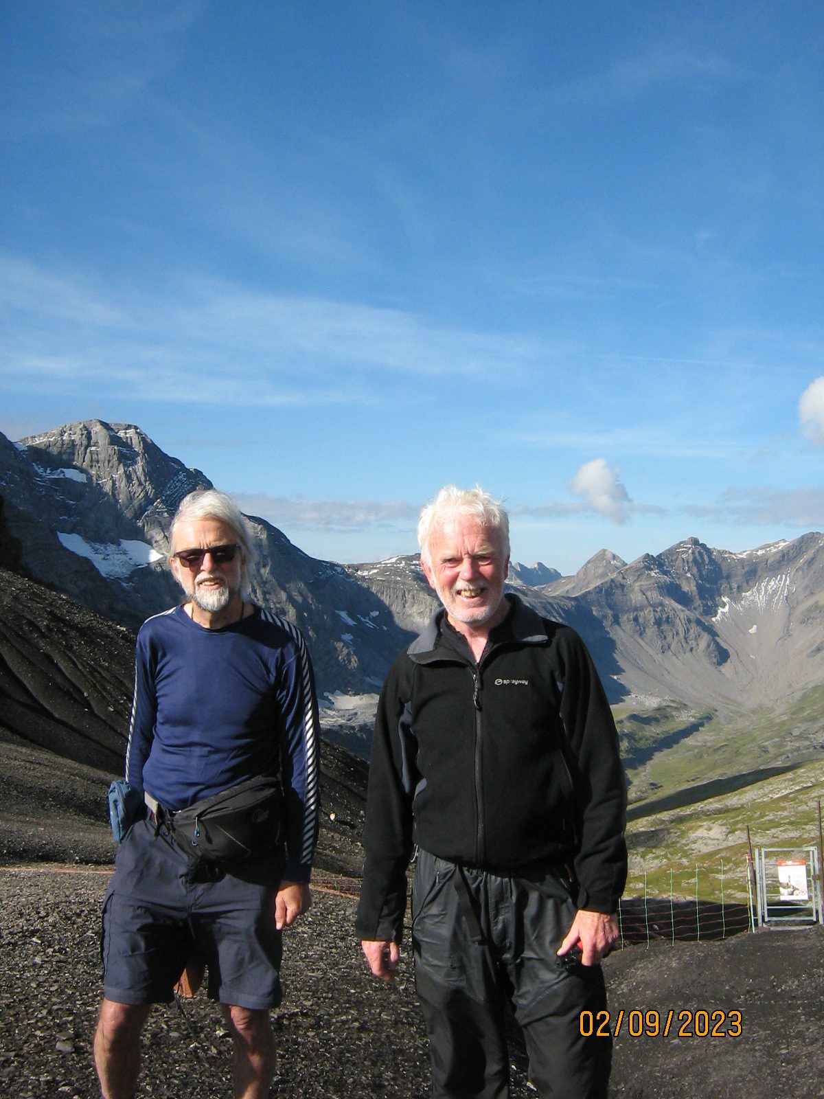
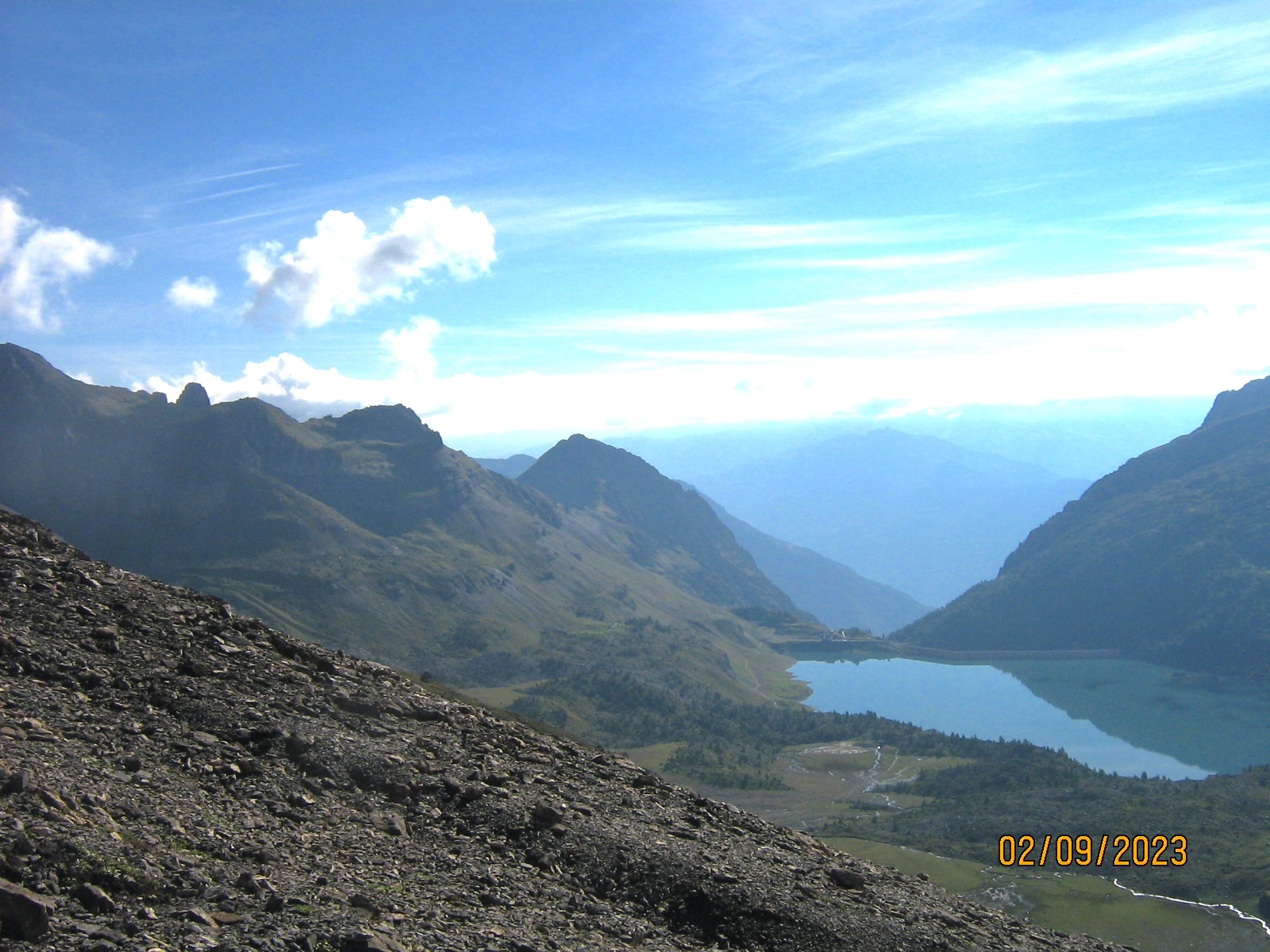
Steve was not feeling quite so perky this morning, so whilst gawping at the rock scenery, we made our way about 4km to Refuge De Salanfe at the east end of the lake for a lunchtime coffee.
Leaving Salanfe our next waypoint was another high col, climbing back up to 2200m at Col de Jorat, which we did in book time of 50 mins.
Then came a wee problem.. As we left Jorat, Steve developed some sort of muscle disfunction and weakness in his legs. (5 days earlier he'd been overall champion at a major orienteering weekend). . Our route lay downhill about 4.5 km and 1160m descent to the mountain hamlet of Mex, book time just over 2 hours.. There was no option but to keep trying, which he heroically and slowly did, getting to Mex in 4 hours from Col Jorat. A long, slow, hot, anxious afternoon. Whilst Steve was not in need of immediate medical attention, it was clear that he could not set out on another stage the following day, and so we abandoned the plan to complete the Midi circuit. We booked 2 nights in Mex in the lovely hostel to await the next flight home.
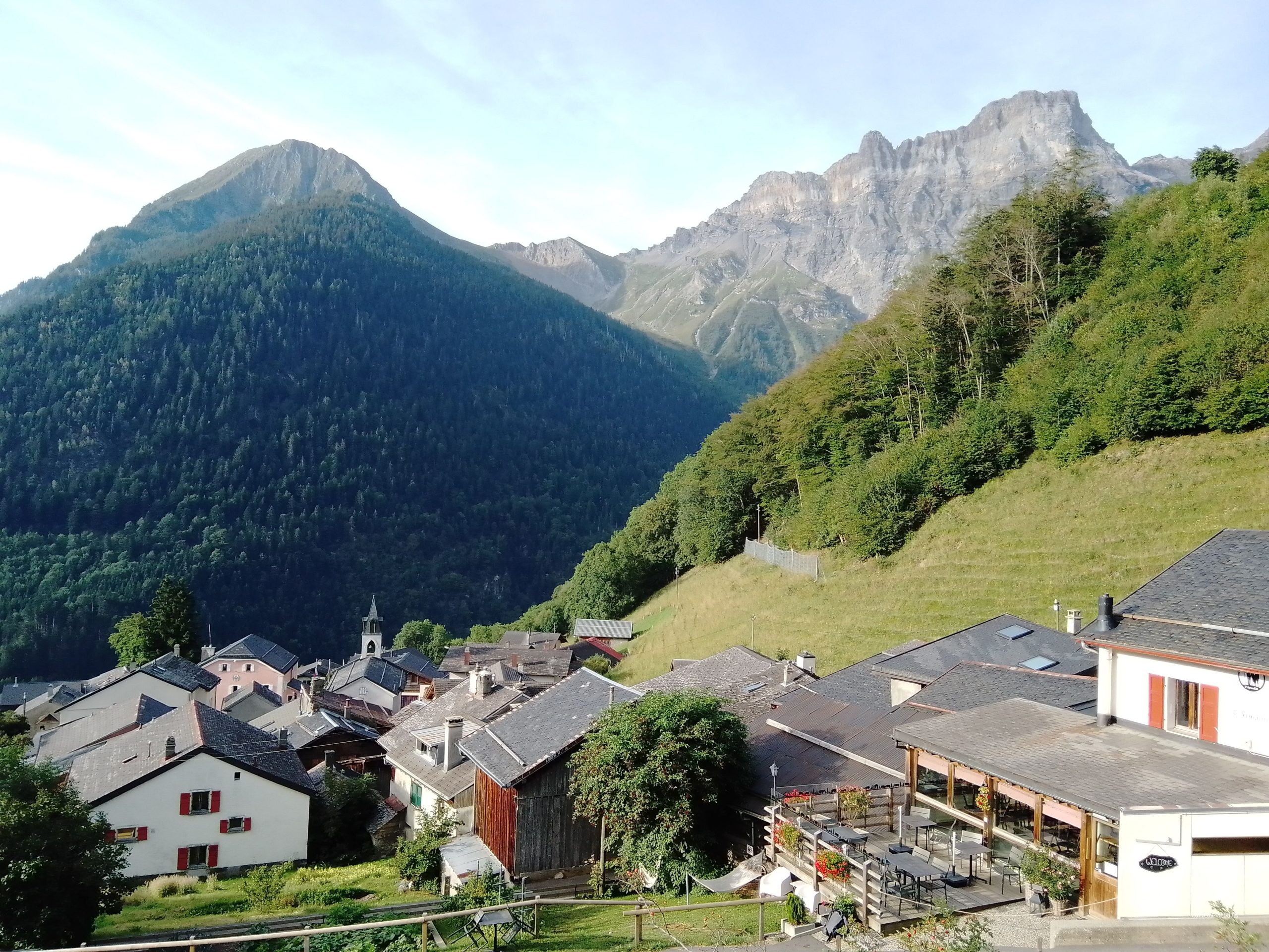
With Steve comfortably recouperating in the hut, I was bidden to take a morning walk up the Aiguille de Mex. - the "local hill" of 1870 m above the hamlet. Really it's just the bump at the end of a ridge line from some much bigger places behind. However the tiny summit just accommodates a cross and a picnic table, and it's quite a viewpoint.
350 metres above me, there was Col de Jorat which we'd crossed the previous day. We had certainly done the “cream” of the circuit through the dramatic rocky terrain.
To the north were woods and pastures leading back below 2000 m across the northern slopes to the refuges at Chindonne and Antheme.
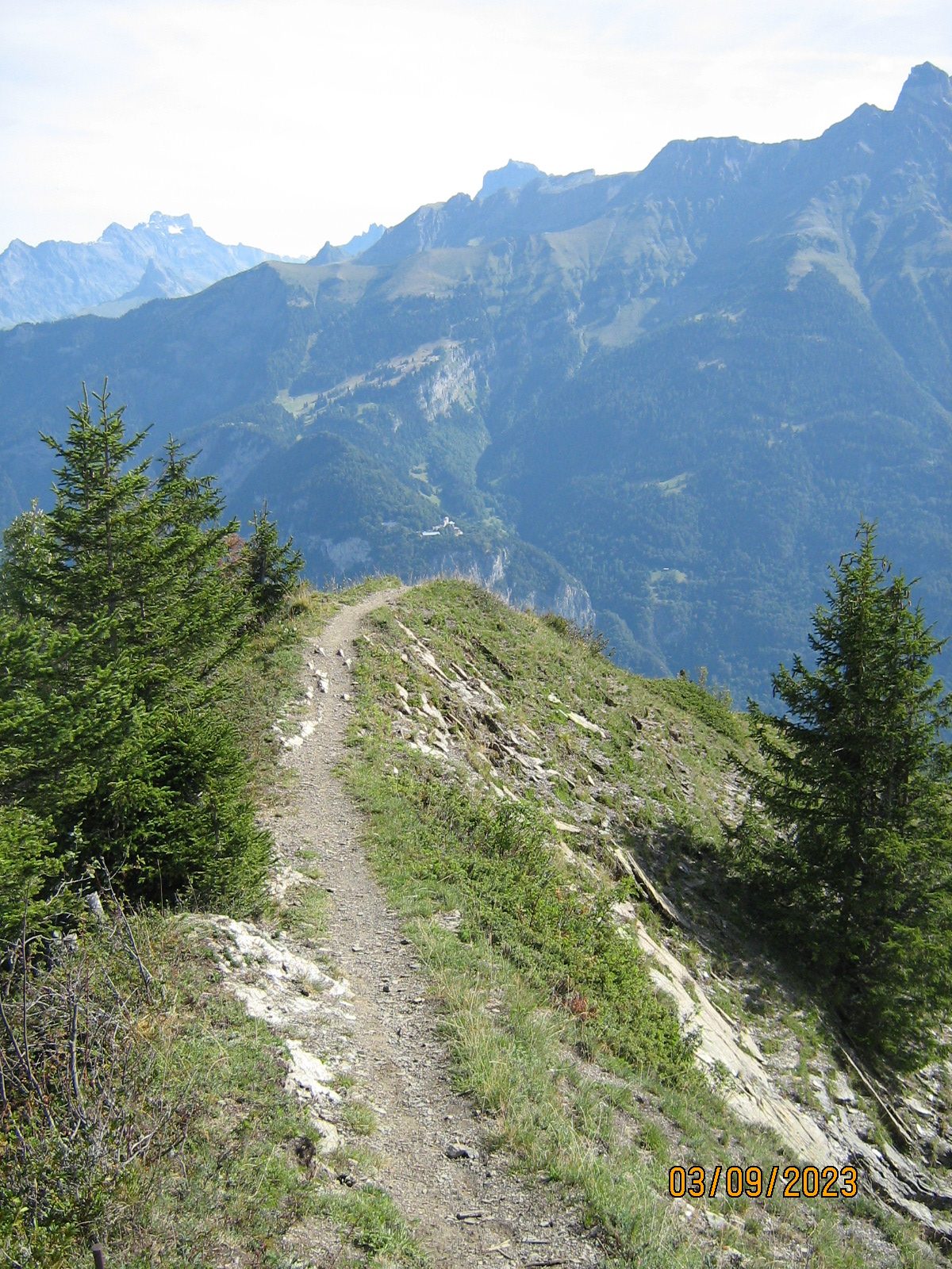
700 metres below lay the hamlet of Mex, with its thin link of tarmac another 700 m down to the valley floor, and its community bus. Had we taken the other option, and gone instead to La Vogealle (without vehicle access) then events might have been more awkward. “All's well that ends well” as the Bard says.
ANDREW
Lovely trip report Andrew thank you for sharing.
Amazing Amazing Andrew. I have a dream one more ^^