No there were no pasties. And no sausage rolls.
Various York MC Members have visited Gregs, though, and some have slept there.
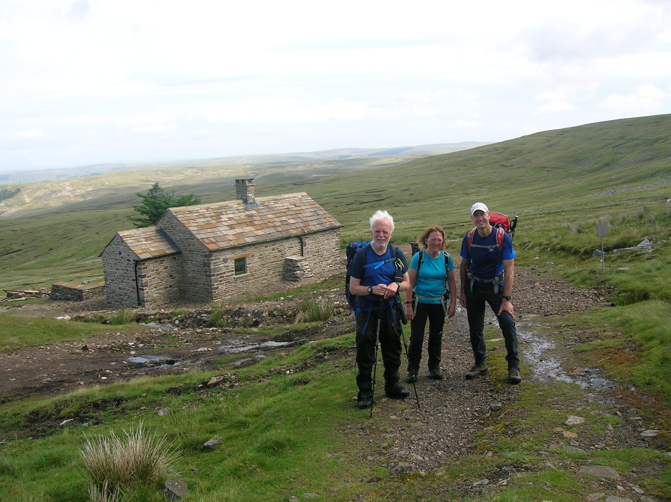
Gregs Hut is an open bothy, possibly the highest building to sleep in, in England (??). It is at 730 metres (higher than most English mountain summits) on the north side of Cross Fell.
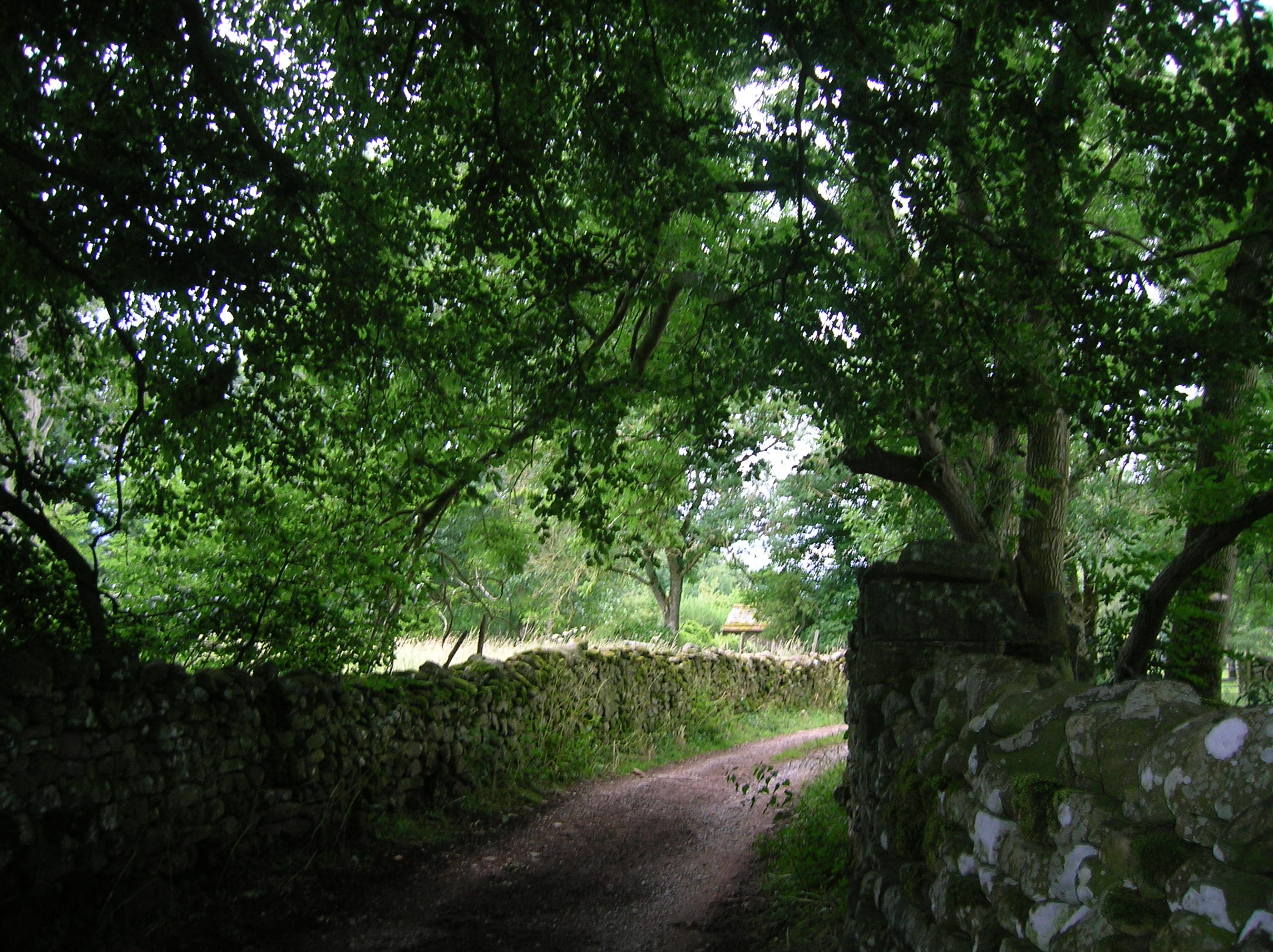
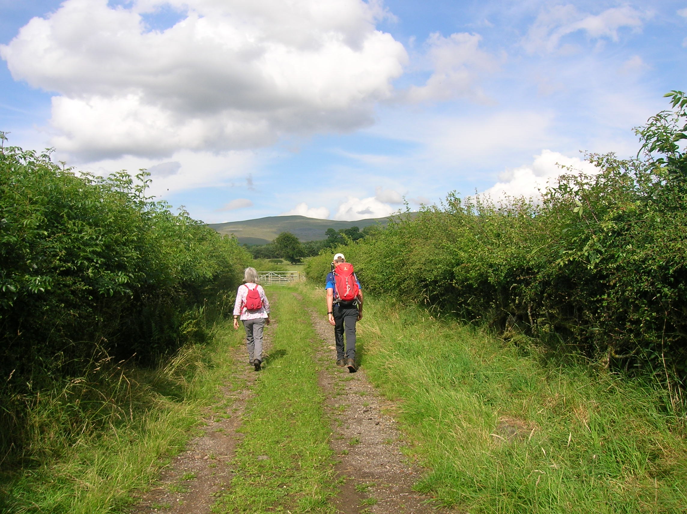
It's a straighforward drive to the start point, well east of Penrith and clear of Lakes traffic. (NB not in the vehicle shown, though). The name “Kirkland” tells its own story:- there has been a church there for perhaps 900 years. However from more remote places like Garrigill (over the hills towards Alston) bodies had to be brought to Kirkland for burial and the track is one of our ancient Corpse Roads. In the 16th century, one funeral party, overcome by a snowstorm, reputedly abandoned the coffin on the fell for a fortnight.
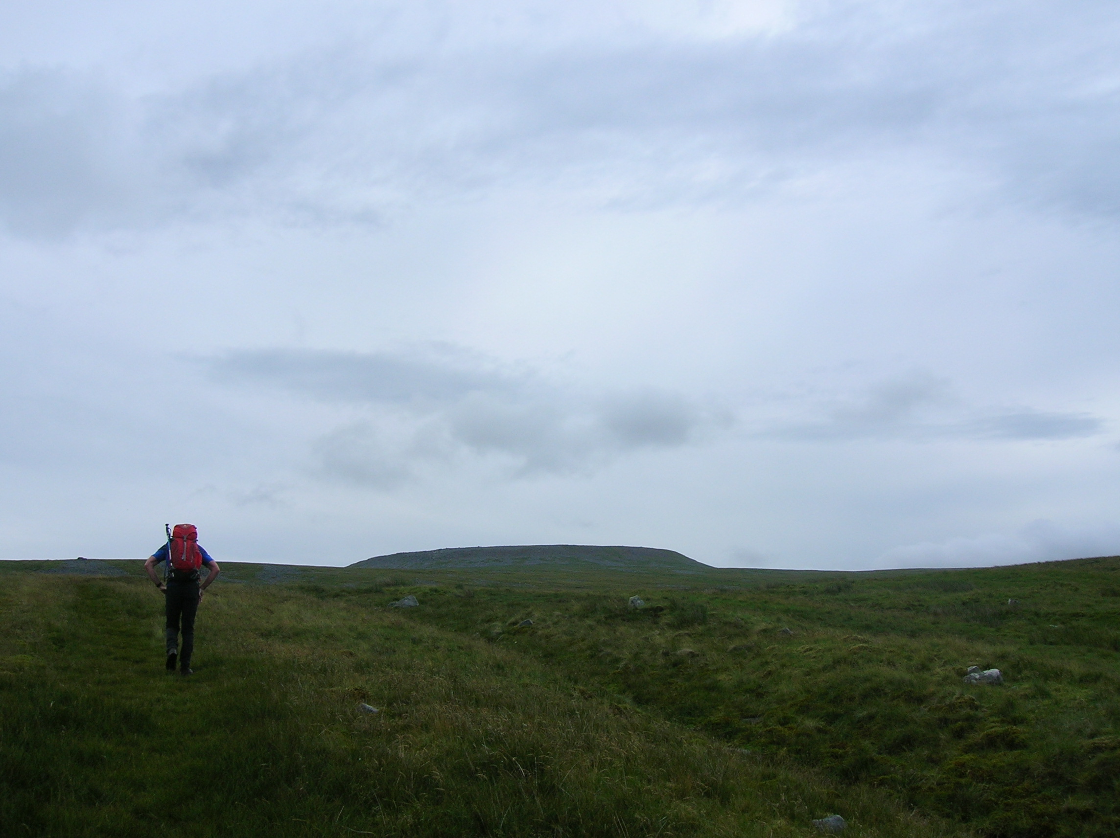
Dave and Anna, Angela and I set off up the Corpse Road, (carrying nothing more than rucksacks !).
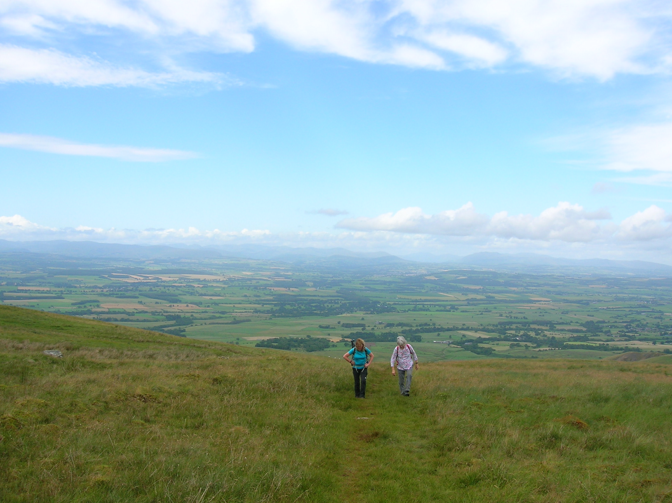
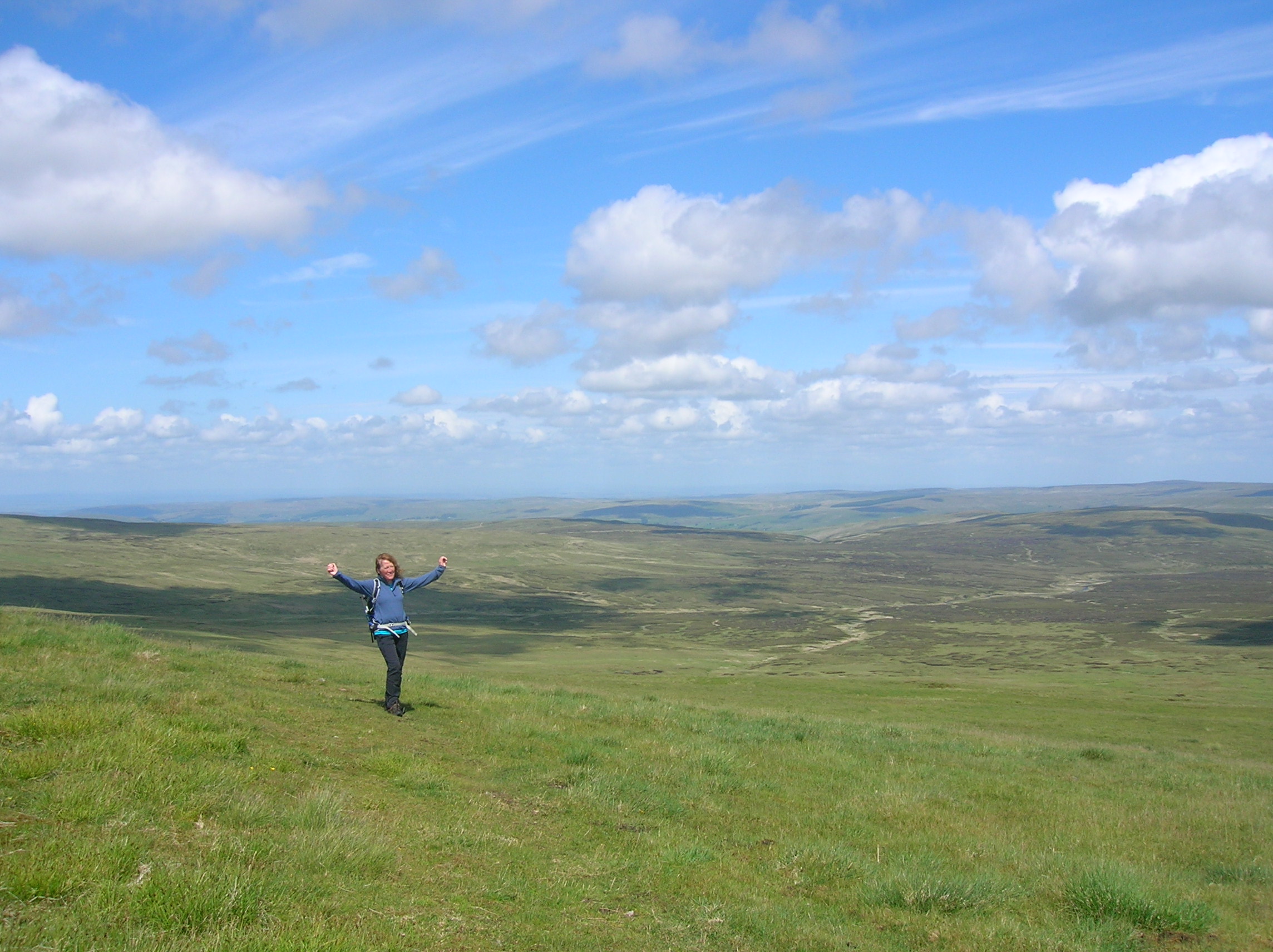
It makes its way steadily but not too steeply up onto extensive moorland, and eventually the summit area of Cross Fell hoves into view.
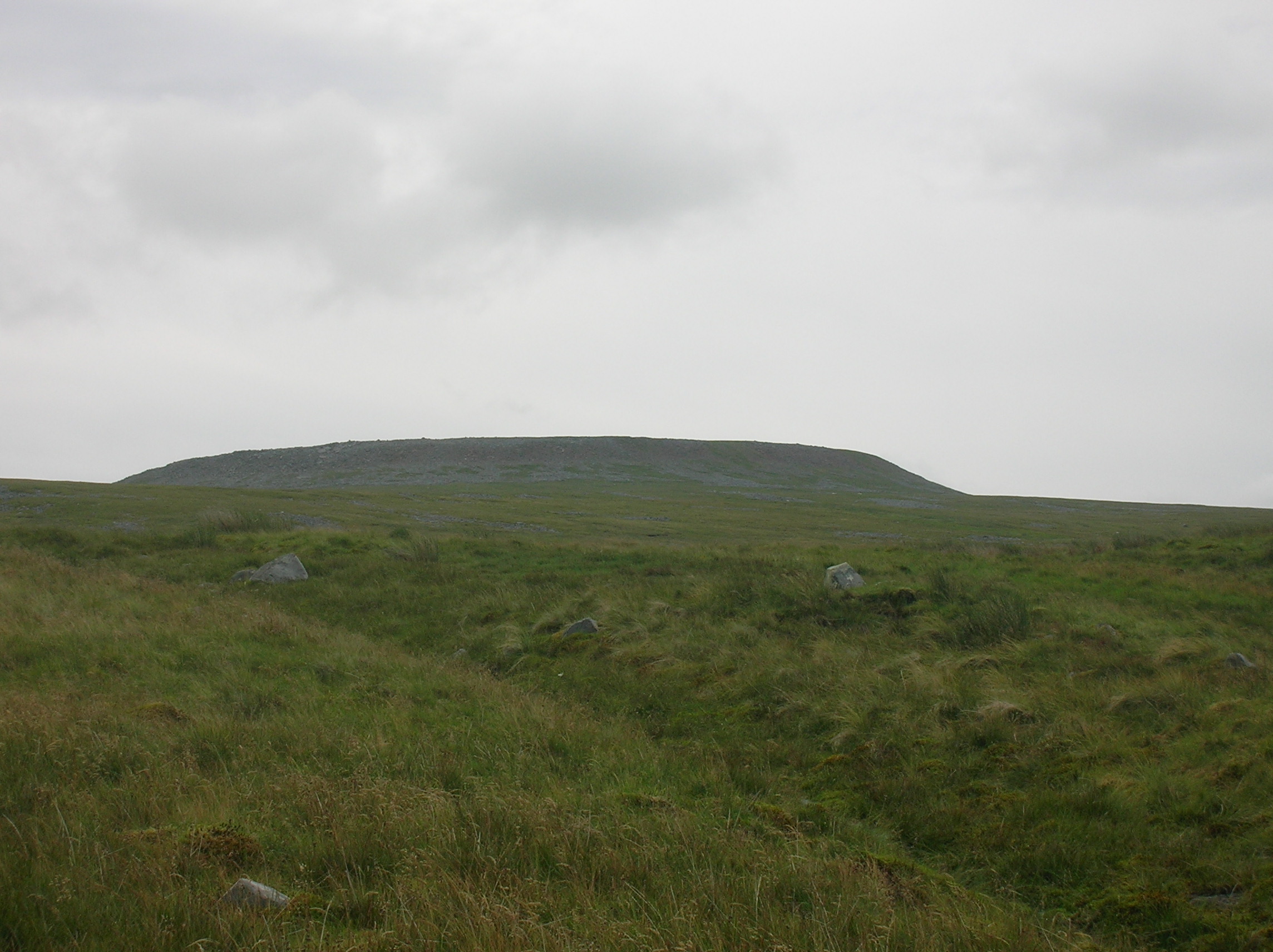
The “path” (not always visible as such) passes the summit on the north side and as it starts to drop into upper Teesdale, there are old tips from lead mining, and Gregs Hut.
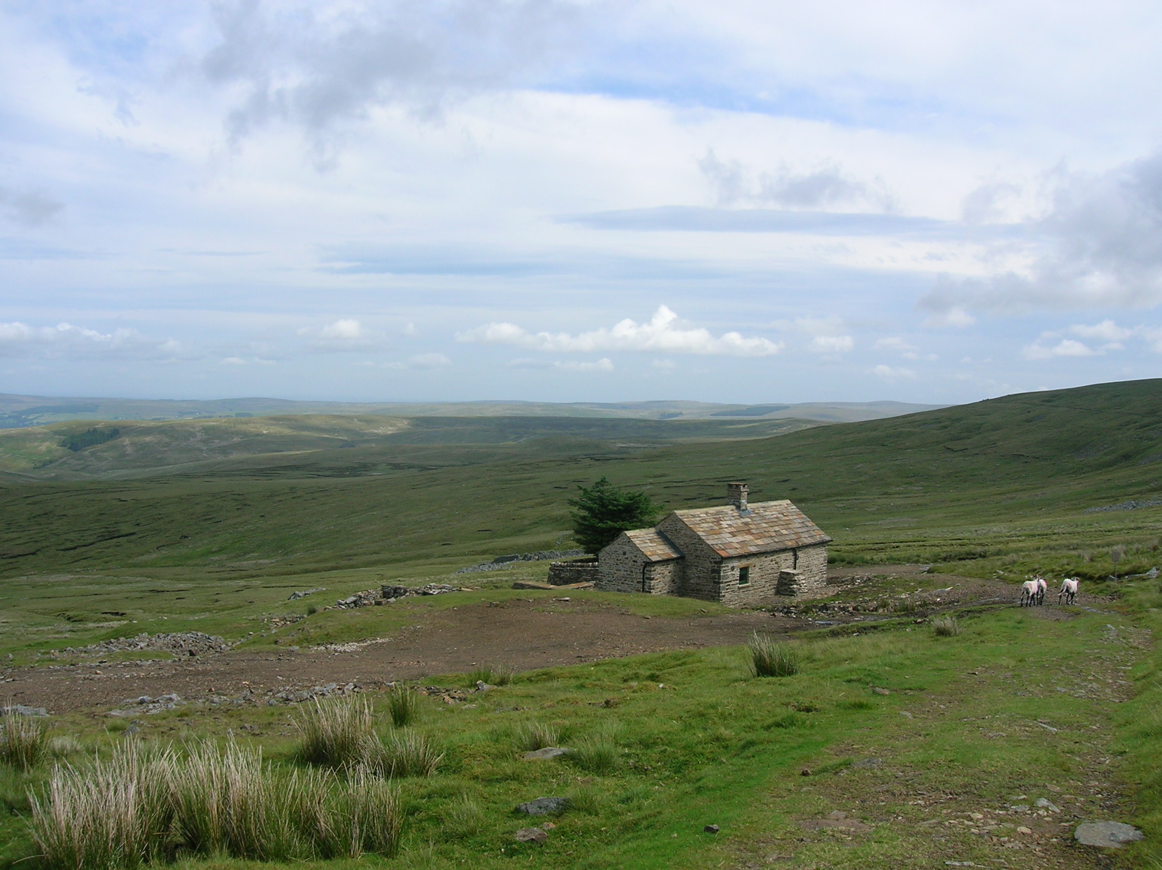
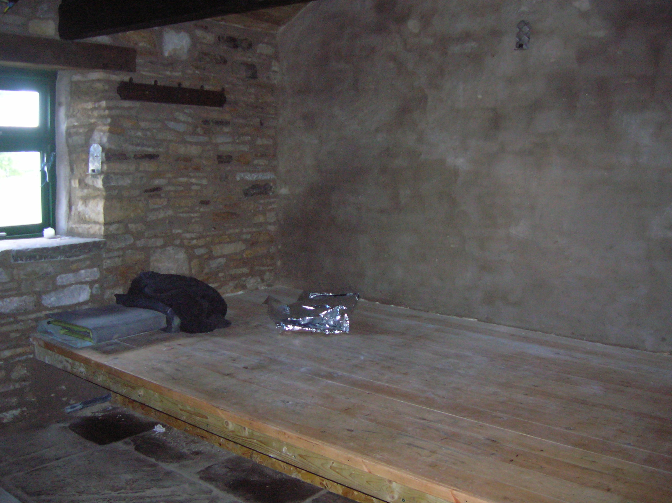
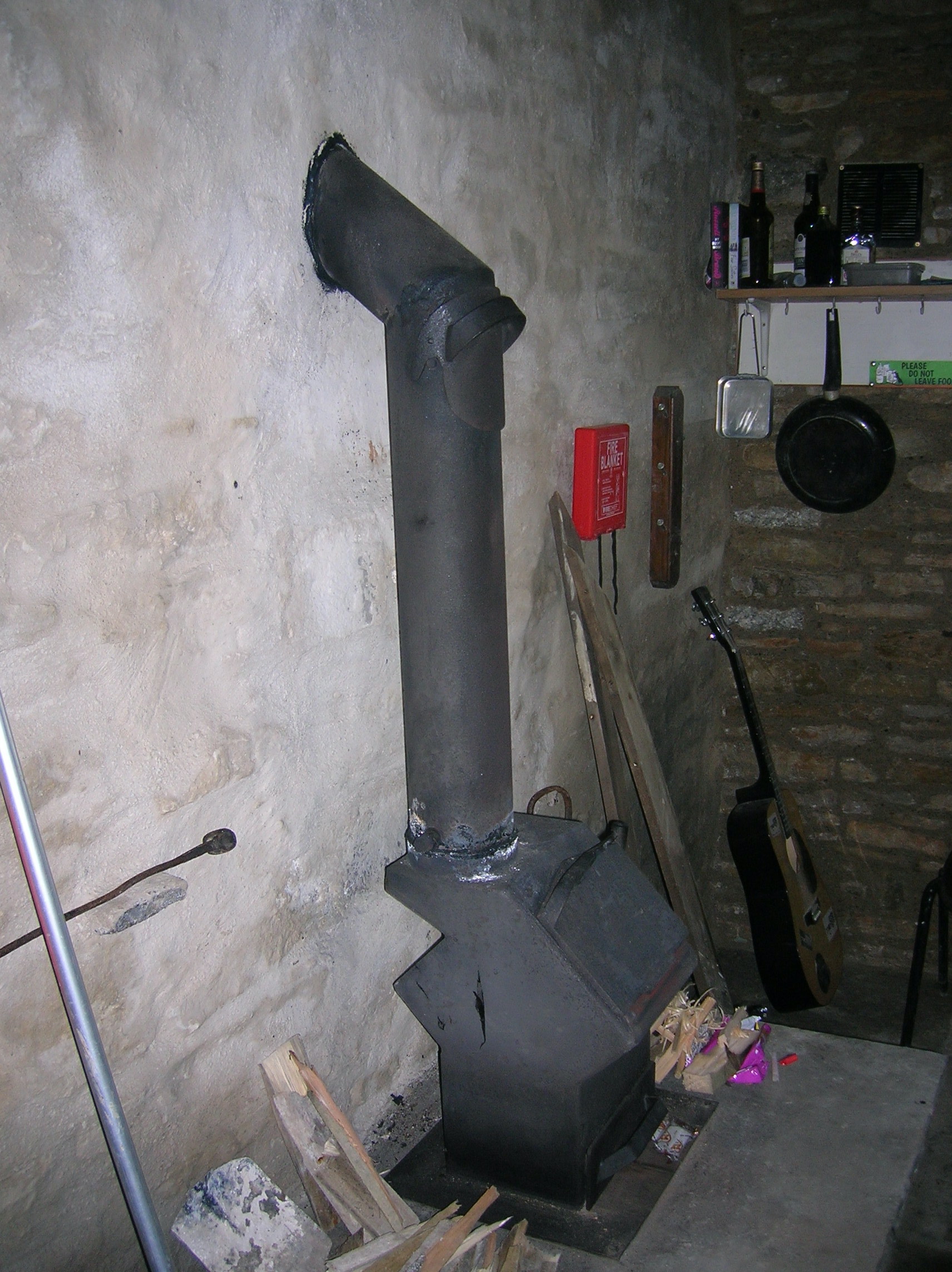
The two-room building was very basic sleeping quarters for miners in the olden days. Its a bleak enough spot, about 2.5 hours from Kirkland and gazing north into the empty spaces of Teesdale. There has recently been a big refurbishment by the Mountain Bothies Association and Gregs Hut Association (hats off to all !!). It all looks very solid and weathertight.
However as a connoisseur of a fair number of Scottish bothies, I'd have to say that sharing the craik and uisge, and telling tales around a dancing fire, is one of life's delights; and I'd have reservations about the modern sealed wood-burner. Efficient and warm, no doubt, but I'd perhaps stay on a nice summer evening and make a fire outside.
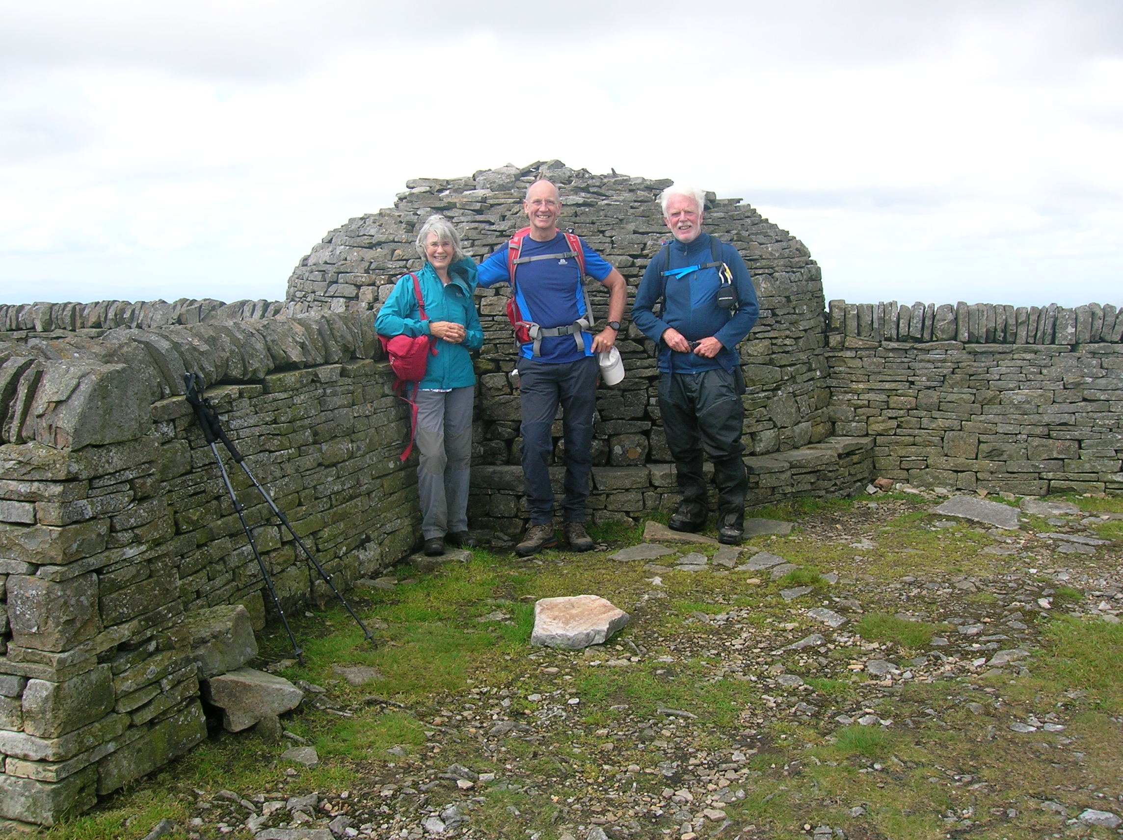
So then it was back up a bit to the pass, and onward to the summit of Cross Fell (893 metres... highest in England outside the Lake District).
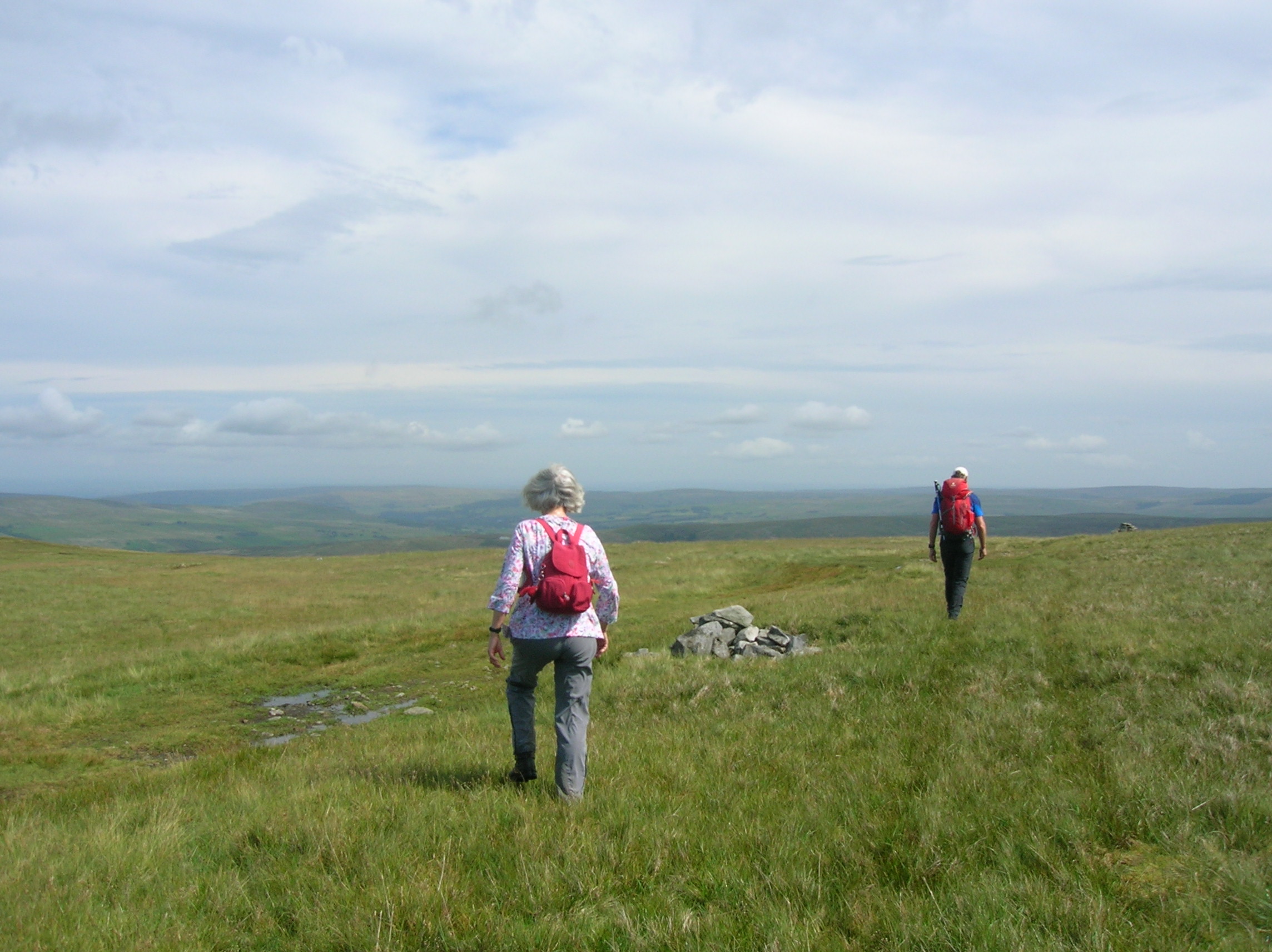
A gentle moorland switchback led us 2 miles over Little Dun Fell and onto Great Dun Fell (which I now learn is second highest in the Pennines at 848 m). Here is a “golf ball” radar station which most of us will have noticed from the A66. Turns out that this is operated by National Air Traffic Services and is a key part of the Air Traffic Control system for Northern England and Southern Scotland

Ah-ha !! Dave obviously has a built-in link from his pilot days. Just as well really, because the descent south and east involved quite a bit of vaguely-tracked moorland followed by some rather intricate paths and green lanes. I thought he was using his GPS-watch, but could there be more to it ??
Anyway, we made a successful return to Kirkland, a little over 8 hours after setting off. Felt like a decent stretch, and the gizmos said no less than 16.6 miles, and 1017 metres total ascent. The rain started just as we drove off. !!. Perfect use of the time. !!
ANDREW