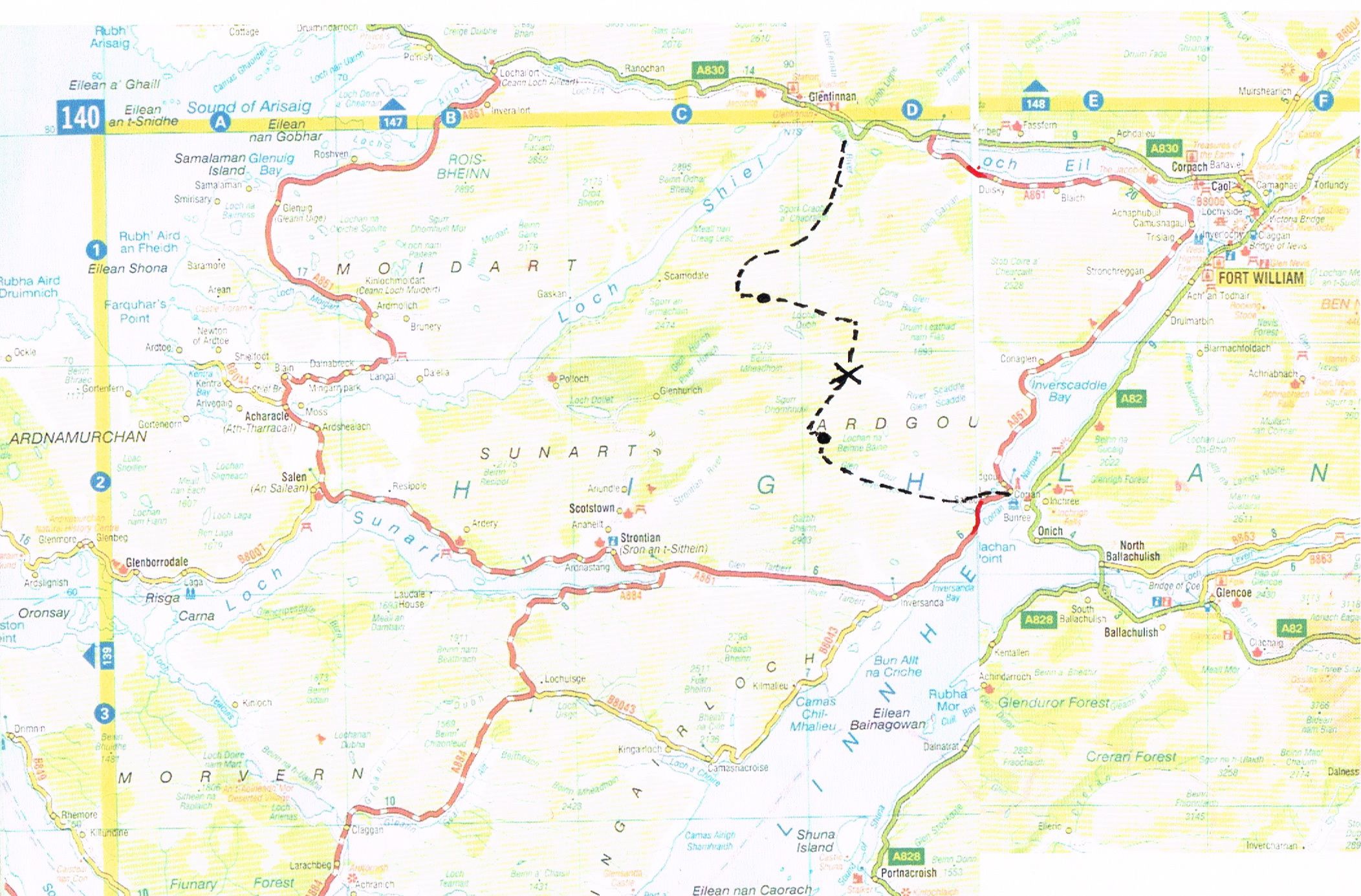
ACROSS ARDGOUR
This all began with idly gazing at the road map.
On the other side of Loch Linnhe from the Fort William road, and south of Rathad nan Eilean - the Road To The Isles - there stretch westwards those rocky and sparsely-inhabited peninsulae leading all the way to Ardnamurchan Point. What could be there ?
In an area comparable in size to the Lake District, there is a handful of small settlements, served by a couple of single-track roads. It's full of mountains, the higher ones mostly in Ardgour, Kingairloch, and Moidart, and there are 16 separate Corbetts plus numerous others. But of course, as none quite rises to 914.6 metres, the area is very quiet with little ticking to be heard. I'd not been there in 25 years, and neither had Keith or Steve, except for Garbh Beinn.
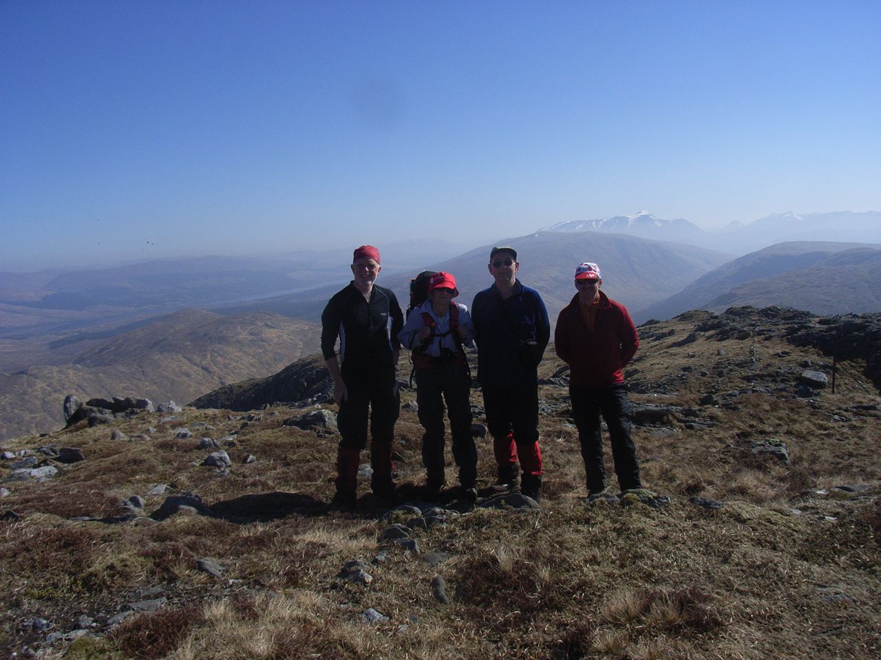
Dolly, Keith, Steve and I began our tour with a shortish day on the Wee Buachaille after a morning drive to Glencoe from Edinburgh.
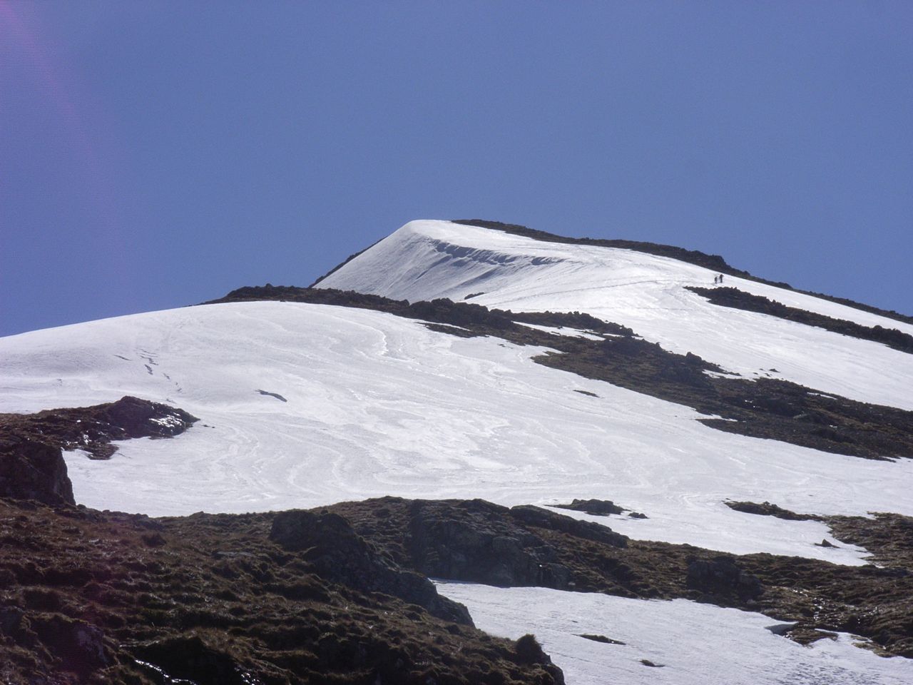
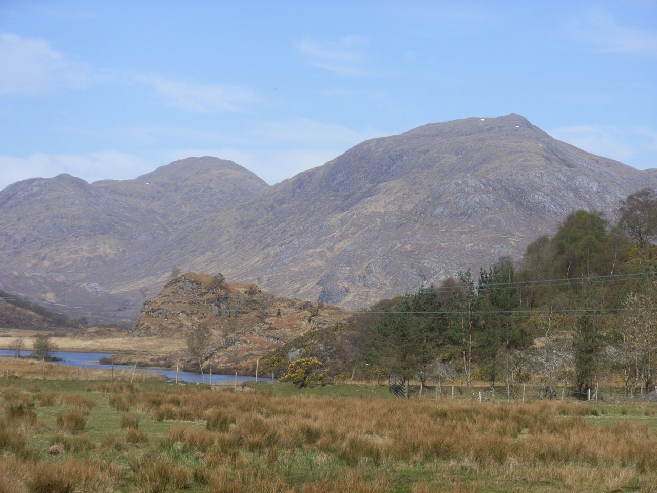
This gave an excellent warm-up, and the view west showed that the mountains of Ardgour were pretty much clear of snow, notwithstanding the cornices surviving in the Glen and on the Ben.
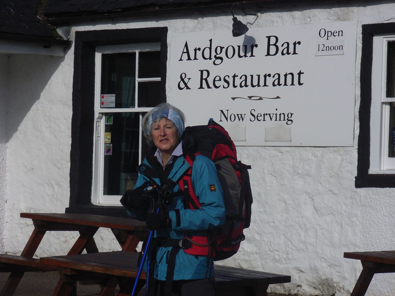
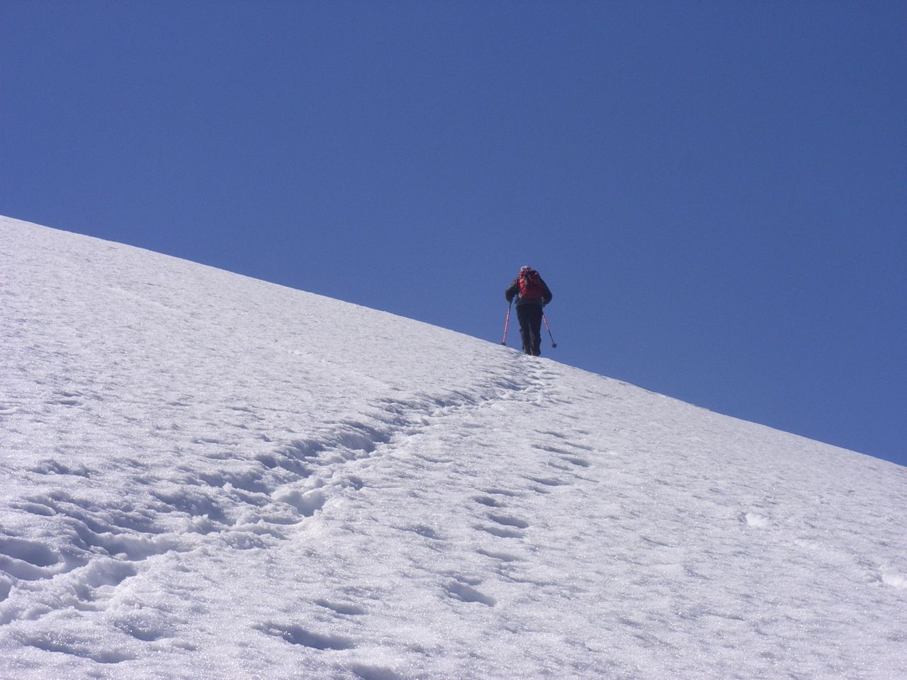
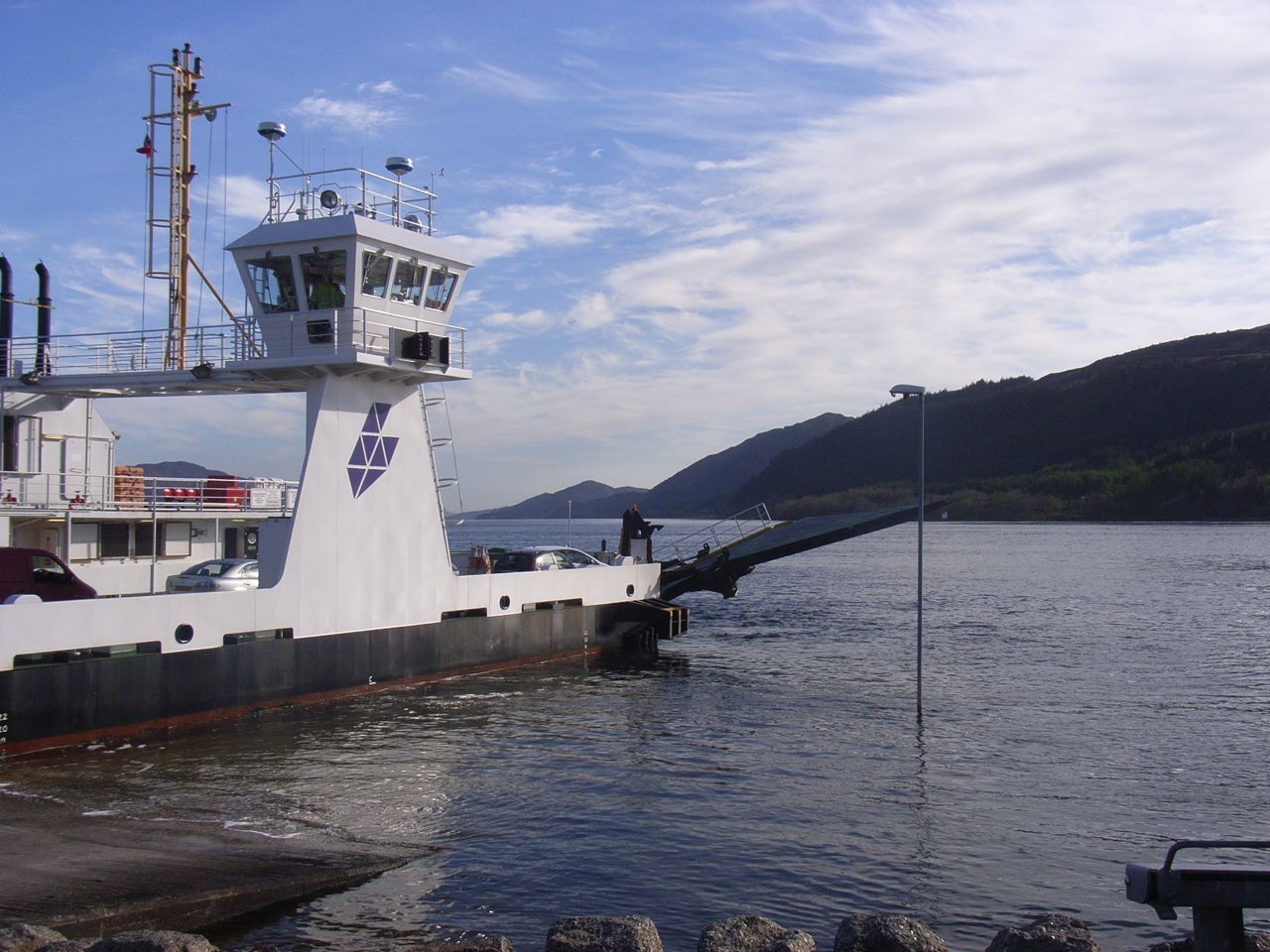
On Easter Saturday, off we went across the Corran Ferry and through the grounds of Ardgour House to swing round into Glen Gour. About 5km up the flat glen, rises the rocky snout of Beinn na h-Uamha. We were now "off piste", and this was hillgoing as it used to be:- there are no paths, cairns, or bridges here. You study the landscape, pick your route, and cross the rivers where you can.
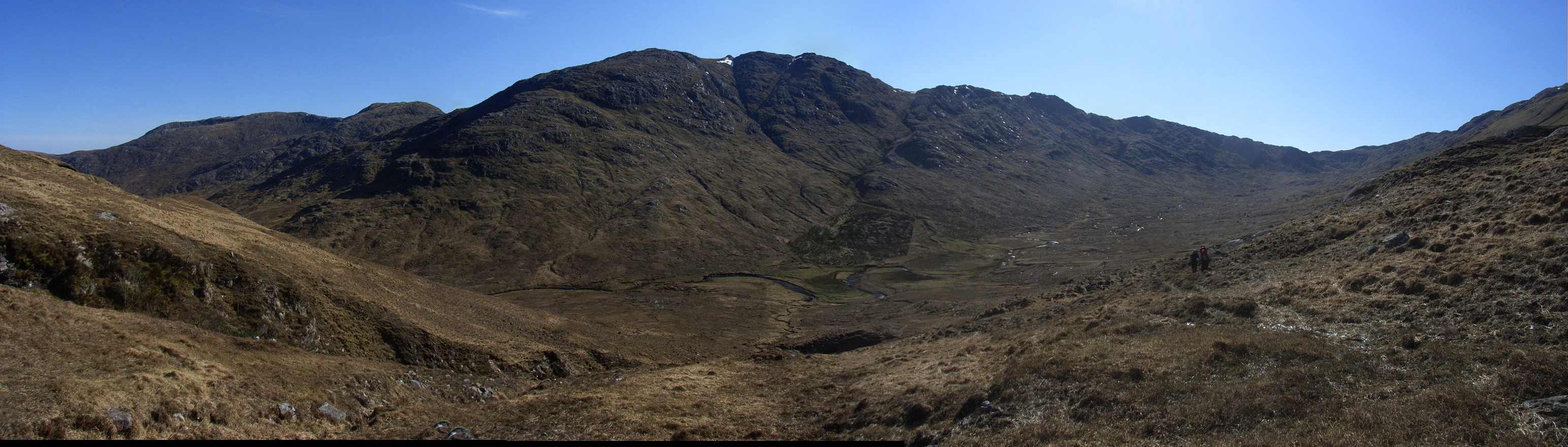
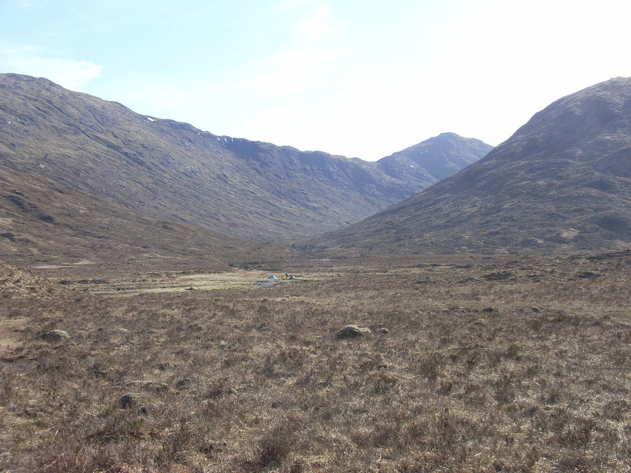
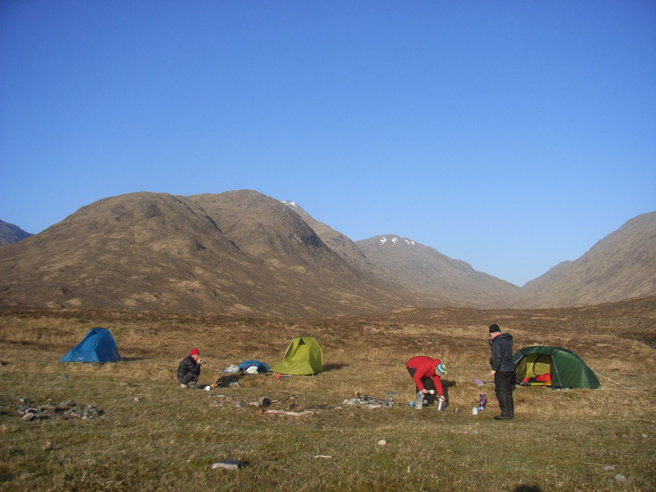
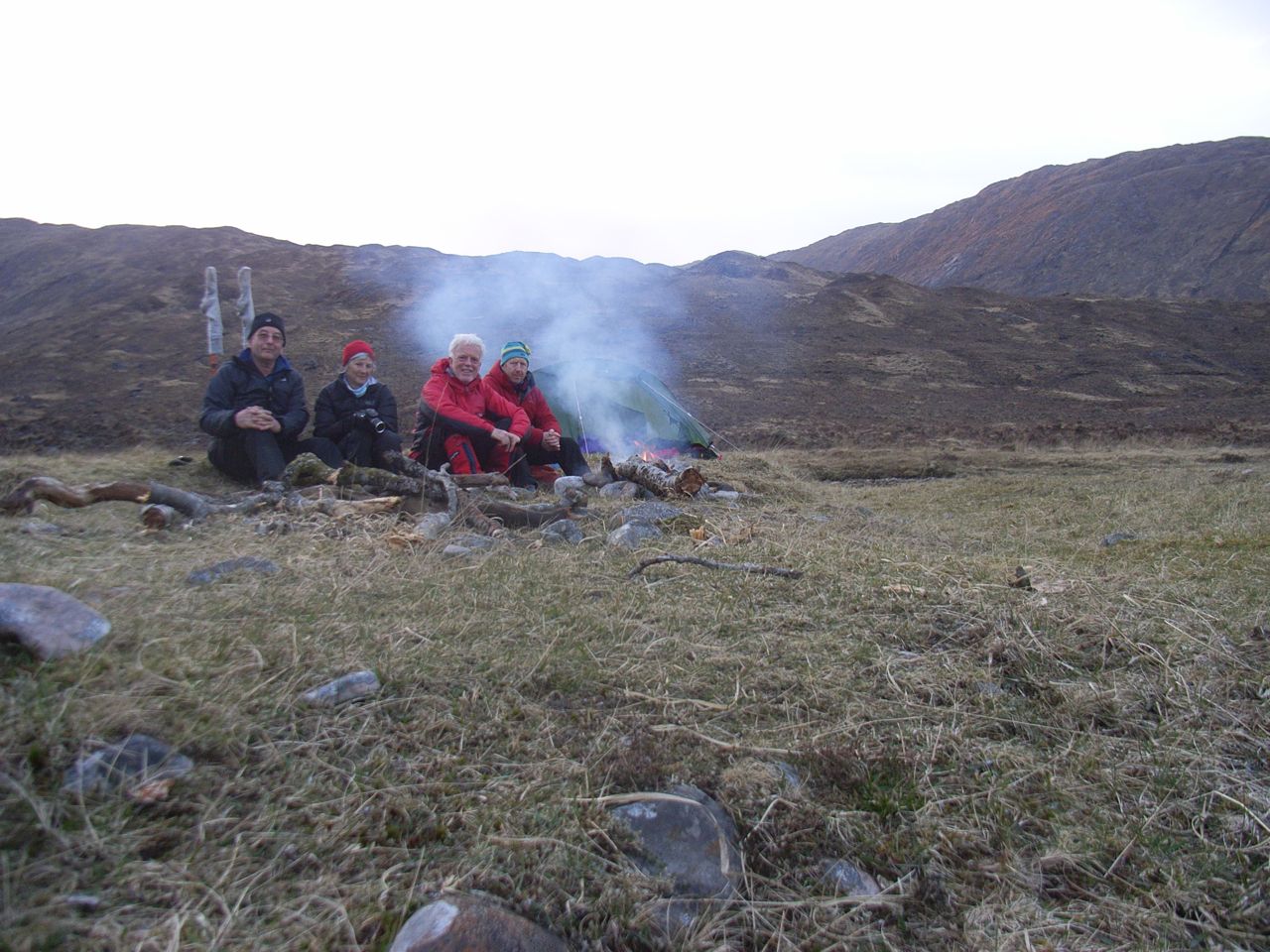
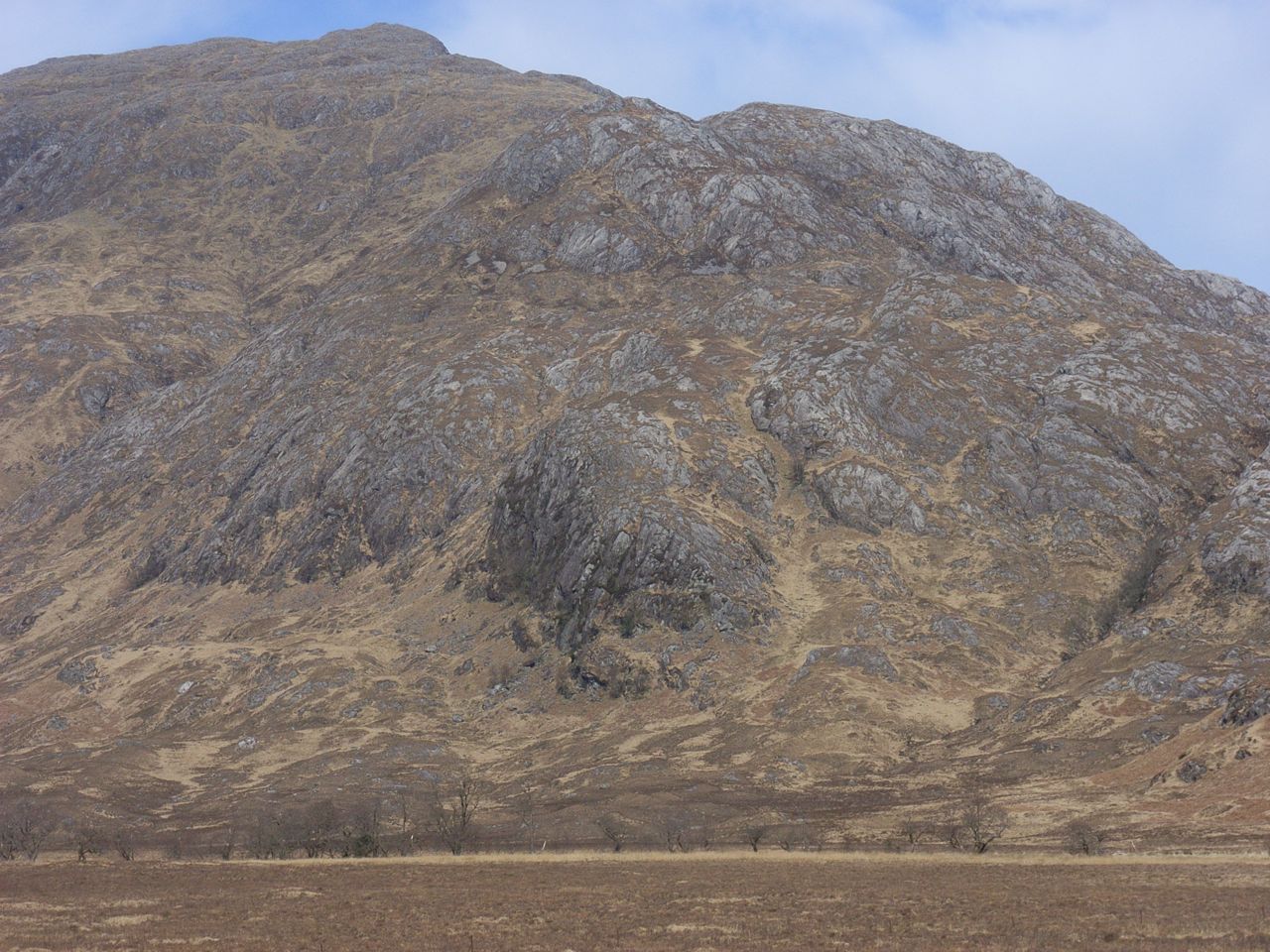 The face which rises abruptly from practically sea level, offers no obvious best route; so we settled on the line of a yellow gulley in the centre. After 300 metres of very steep ground, we got a brief respite, before having to snake about to get round an upper crag, and finally access to more straightforward ground, then finally the 762-metre summit by about 2pm. From there, the north ridge was located which took us down into the next valley (the River Scaddle) and an excellent camping site between the junction of two streams. Our 18Km + 785 metres justified a good meal, camp fire, and some Water of Life.
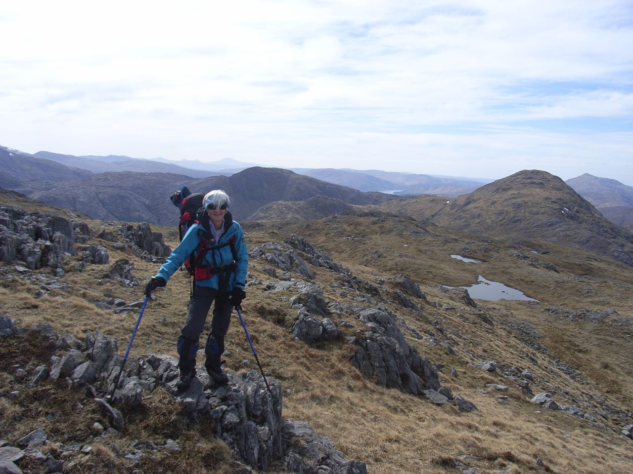
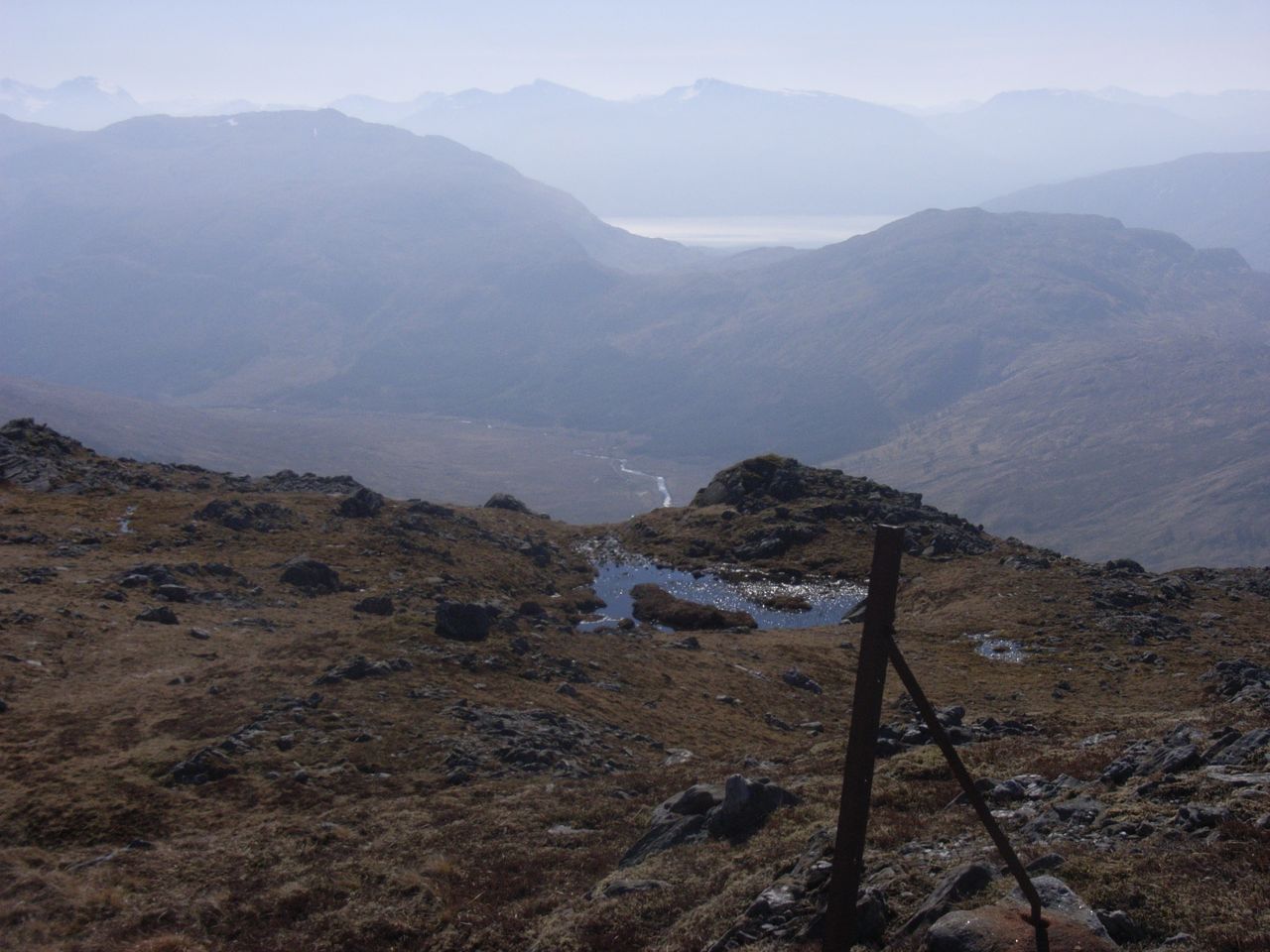
 Day 2 began with a steady pull up a reasonably-angled hillside onto the next ridge, overlooking the Cona Glen. Turning west, the crest rises from 500 metres to 720 metres. Although fairly broad, it is an intricate mass of rock outcrops and boulders. A nightmare in poor visibility, we guessed. Up and down, some old fence posts were a useful guide over various knobbly bits, and finally an extremely steep drop to a big bealach.
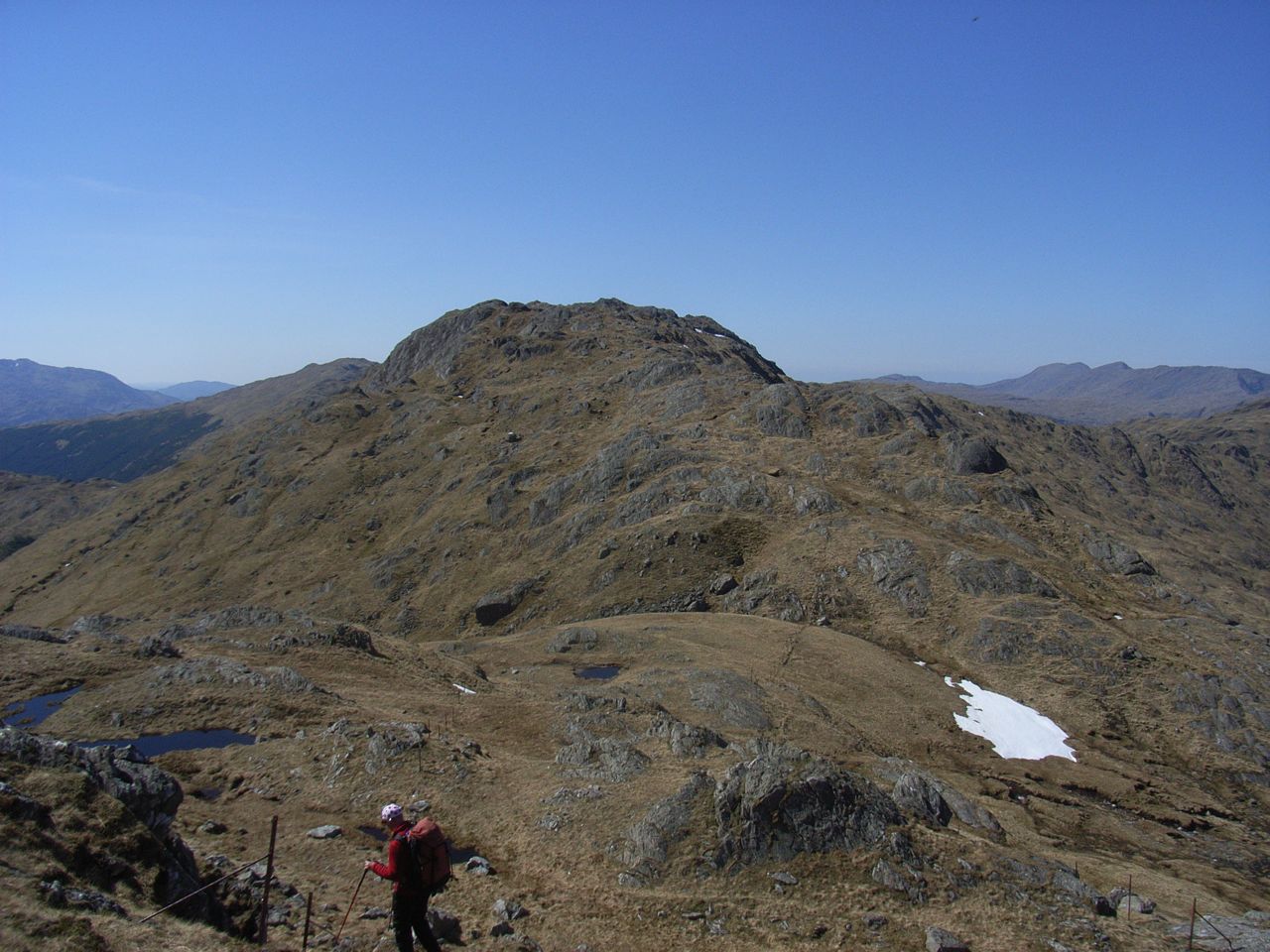
But we were making steady progress, so decided on another 250 metres climb onto Meall Mor, from where further waggling and knobbliness would take us to Stob na Bealach an Sgriodain, a second Corbett at 770 metres.
Descending west, we encountered two humans coming the other way:- the first examples of this species we'd seen since leaving the ferry. Dolly was rather miffed we didn't get a "clean sheet" but we saw no others after these two passed by. Finally as the afternoon wore into early evening, we crossed the head of the Cona Glen and over into the Glen which leads northwards to Glenfinnan, where Steve's car was thankfully parked at Callop. It was great to find we could get a shower and a bed at nearby Corpach Hostel, as Day 2 had been another 18km but with 1270 metres of ascent this time.
So there it is. We've trekked across it, and scratched the surface.
That only leaves the rest of it to see.......................
ANDREW